
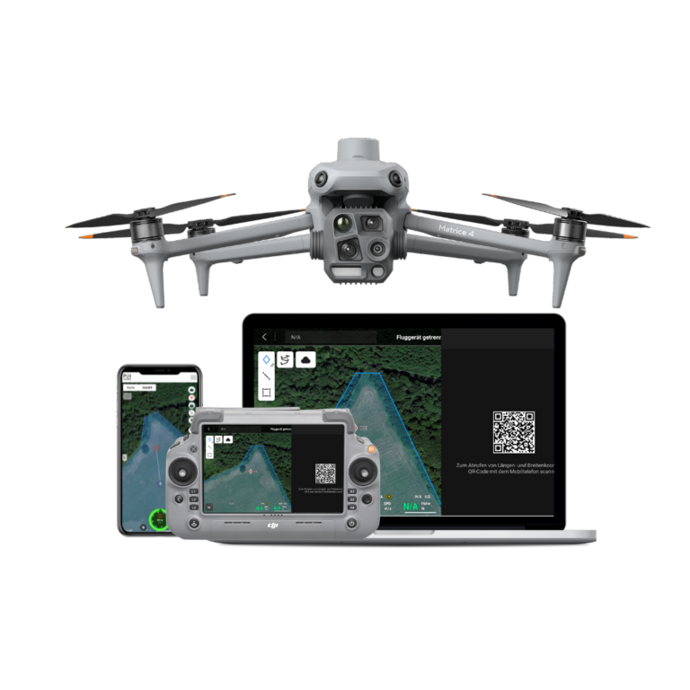
POISuite: Drone software for maximum performance and efficiency
Thermal imaging drones have become indispensable tools in wildlife rescue, breeding bird protection, and species conservation. Our innovative software elevates this tool to a new level, expanding its functionality, increasing its performance, and opening up new possibilities in the use of drones. We provide the POISuite permanently free of charge with all our thermal imaging drones.
POISuite
Wildlife detection, cloud networking, team coordination and more.
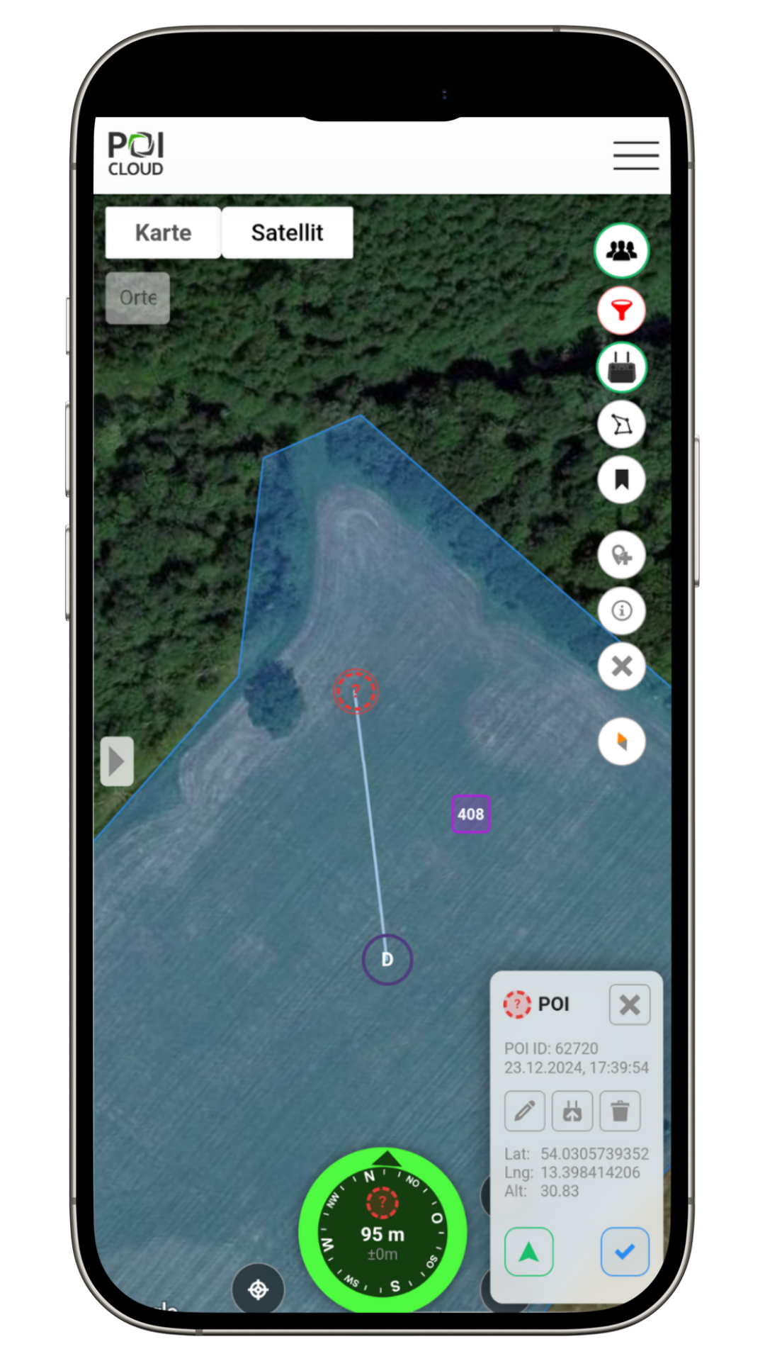
thermalDRONES POIApp
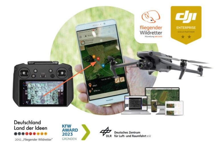
Navigation
Transfer locations from the remote control to your smartphone with a single click.
Our app guides you directly to the area and the location, connects you to the drone, and assists you in coordinating your team.

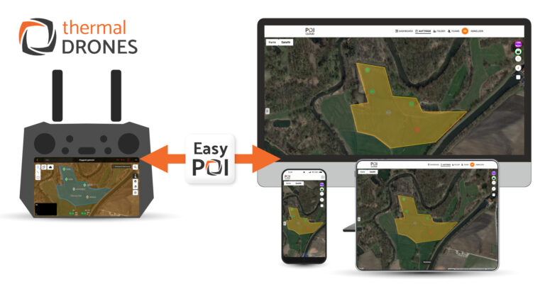
thermalDRONES POICloud
Management
POICloud manages areas, orders, flight plans and finds. It coordinates teams and transfers missions directly to the remote control.

thermalDRONES POIConnect
Networking
POIConnect connects your drone to our cloud, transfers PinPoints/POIs to our app and flight plans from the cloud directly to the remote control.

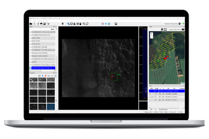
thermalDRONES POIStudio
Analyse
POIStudio enables the evaluation of thermal images with image optimization and artificial intelligence, and locates and transfers the findings to the cloud.
News about POISuite
POISuite 2025
For the 2025 season, we have many new features in the pipeline! Area Planning, Assignments, and Missions Look forward to…
POICloud and EasyPOI
Just in time for the upcoming fawn season, we are pleased to introduce our new POICloud with the EasyPOI function.…
Fawn rescue 2024: from the remote control to the smartphone with just one click
Transfer the position of the fawn from the remote control to the smartphone of the helpers with one click –…
Tips & tricks for POISuite
Navigate to discovery sites with any drone
The POIApp enables you to navigate to locations identified by the drone via GPS. By manually transferring the locations, this…

Fly to locations with the POICloud
The POICloud saves locations and makes it possible to fly to them again later in a targeted manner. For this…

Use the POIApp free of charge
Many features of our POIApp can be used free of charge to support your wildlife rescue efforts. All volunteers can…
