Software

POISuite

Wildlife detection, cloud networking, team coordination and more.

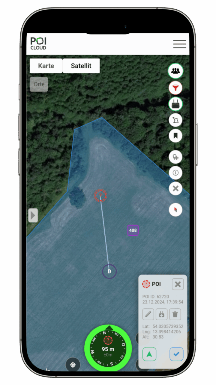
  • Abbildung eines Smartphones mit darauf geöffneter Kartenansicht der POIApp. Abgebildet ist ein eingezeichnetes Feld mit einer roten Markierung, die über eine Linie mit einem weiteren Punkt verbunden ist. Darunter befindet sich eine Kompassnadel in grüner Farbe, die nach Norden zeigt. Rechts daneben ist da Pop-Up-Menü zum Bearbeiten des ausgewählten POIs zu sehen.

    thermalDRONES

    POIApp

    Our app guides you directly to the area and the location, connects you to the drone, and assists you in coordinating your team.

    Documentation
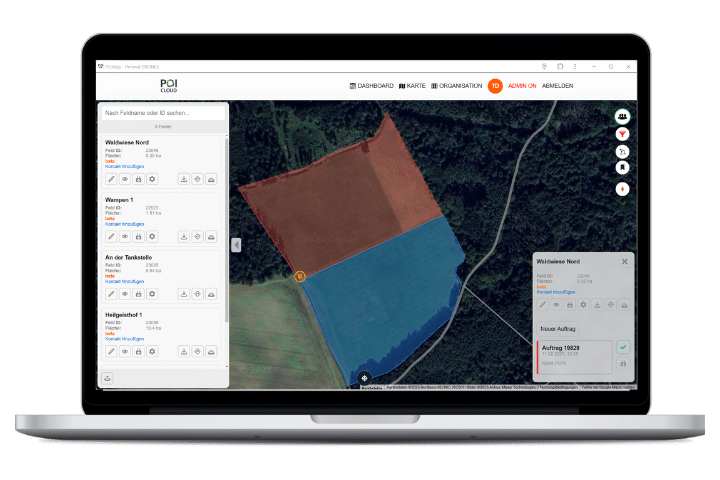
  • Abbildung eines Laptops mit abgebildeter Kartenansicht der POICloud sowie 2 nebeneinander eingezeichneten Feldern in roter und blauer Färbung.

    thermalDRONES

    POICloud

    POICloud manages areas, orders, flight plans and finds. It coordinates teams and transfers missions directly to the remote control.

    Documentation
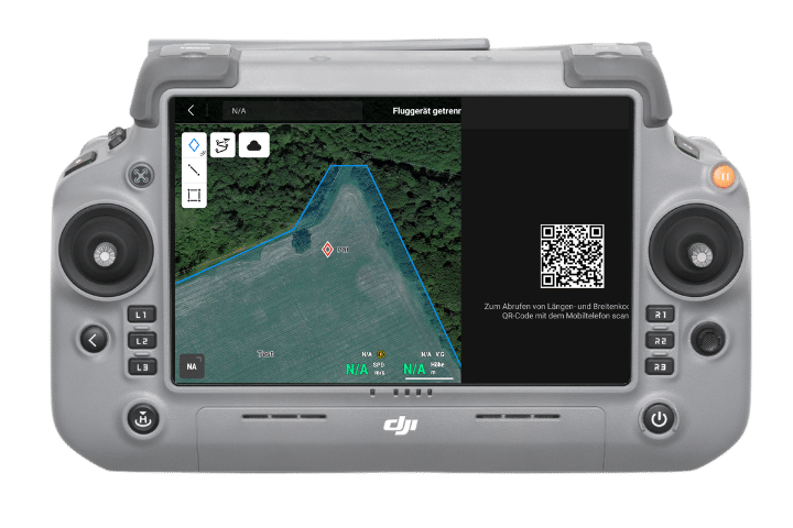
  • Abbildung eines DJI RC Plus 2 Controllers mit geöffneter Kartenansicht, einem eingezeichneten Feld und einer roten Markierung.

    thermalDRONES

    POIConnect

    POIConnect connects your drone to our cloud, transfers PinPoints/POIs to our app and flight plans from the cloud directly to the remote control.

    Documentation
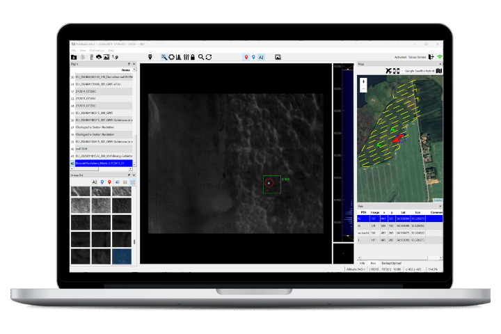
  • Abbildung eines Laptops mit der geöffneten Anwendung POIStudio.

    thermalDRONES

    POIStudio

    POIStudio enables the evaluation of thermal images using artificial intelligence and locates and transmits the findings to the cloud.

    Documentation