
Training, courses and onboarding
Drone Training for Wildlife Rescue, Conservation and Public Safety
Just got a new thermal drone, rolling out POICloud across your team or looking to take your drone unit further? Our drone and POICloud training covers what you actually need in the field: hands-on, tailored to your application and taught by people who fly these missions themselves.
Formats
Online, on site or in a webinar
Pick the format that suits your team and your schedule. The two combine well: software and theory online, flight practice together in the field.
-
Online, any time
Training videos
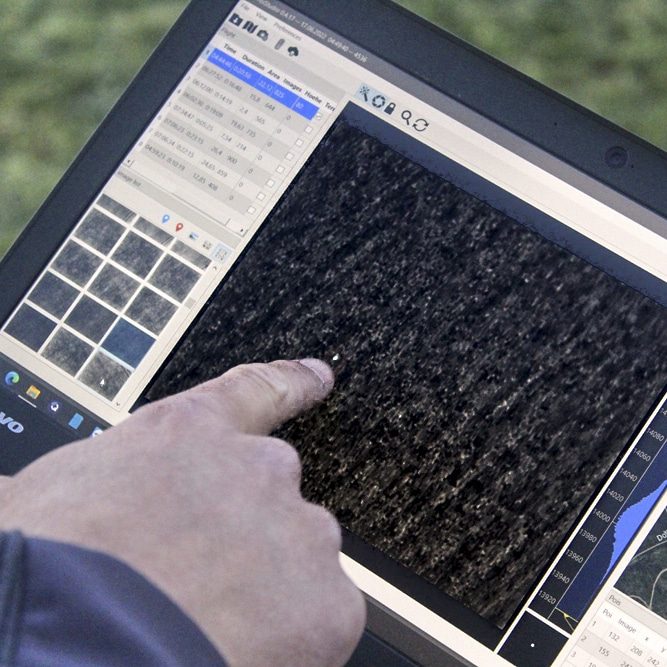
Our videos show step by step how to prepare, coordinate and document missions with POICloud at your computer (in German).
Training on YouTube -
Hands-on
On-site and practical training
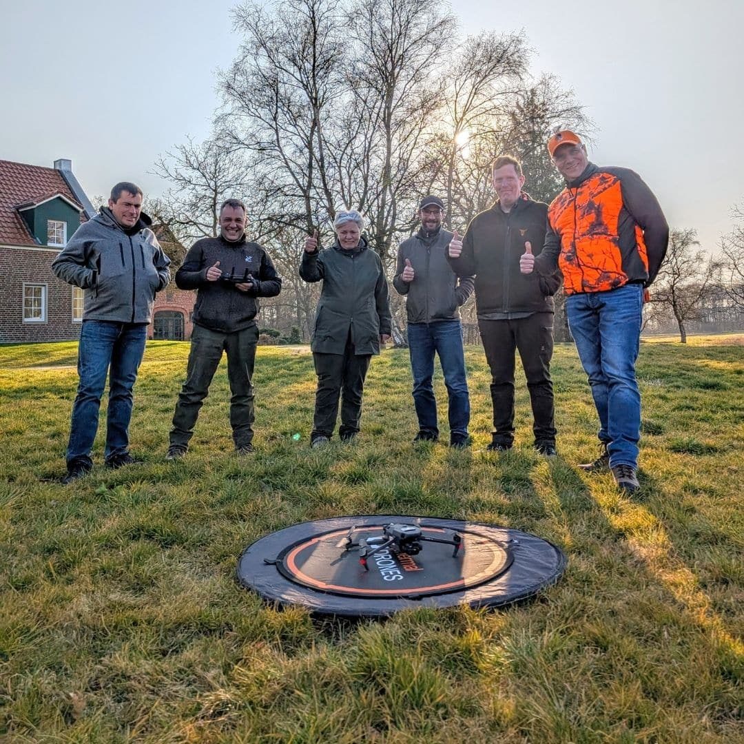
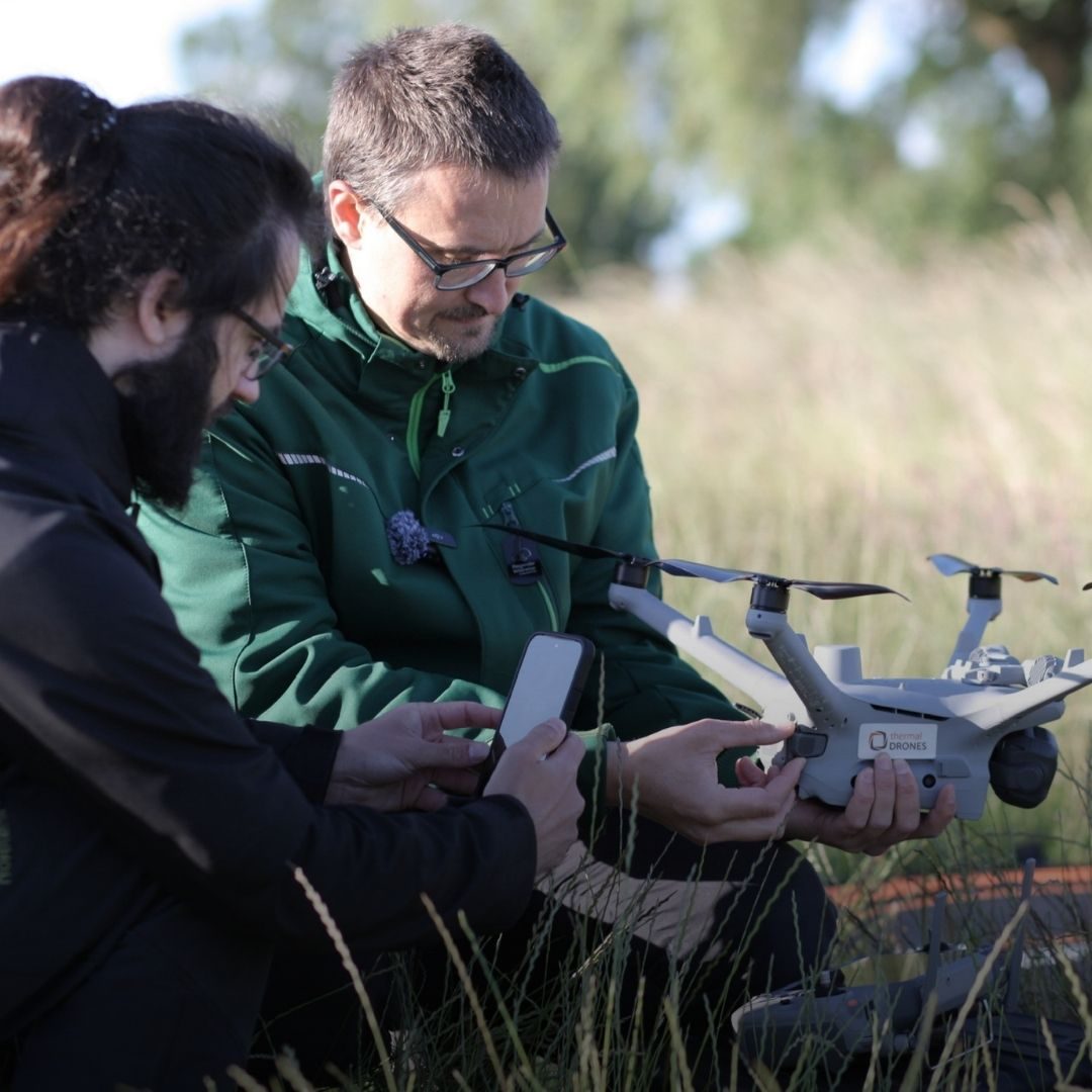
Instruction on your drone, flight exercises, team workflows and working with POIApp and POICloud under real conditions.
Request on-site training -
Online
Online training courses
Live video sessions for your team: to get started, to refresh your skills before the season or to prepare for a specific mission.
Request online training -
Free
Webinars
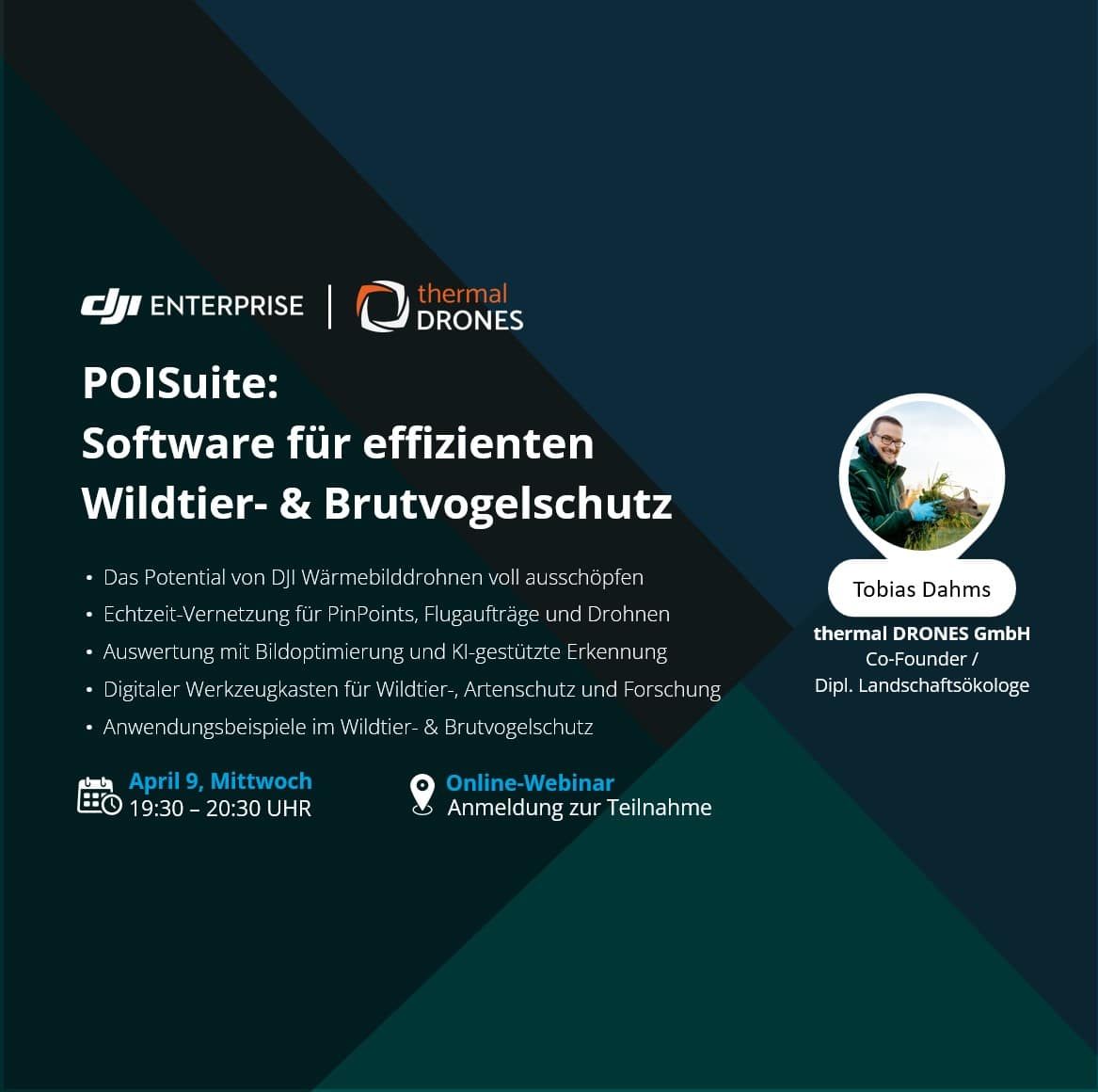
Open webinars for customers and anyone interested: getting started with POICloud and POIApp, what is new in POISuite and examples from the field, with time for your questions.
Upcoming webinars -
Certificate
EU A2 Certificate of Competency
Which certificate you need depends on your drone and your mission. The A2 course is available in our shop (in German); on request we prepare you for it during on-site training.
A2 course in our shop
Applications
Training for your field of work
Every course is built around your mission. These are our focus areas, on their own or combined.
-
Wildlife rescue
Fawn and wildlife rescue
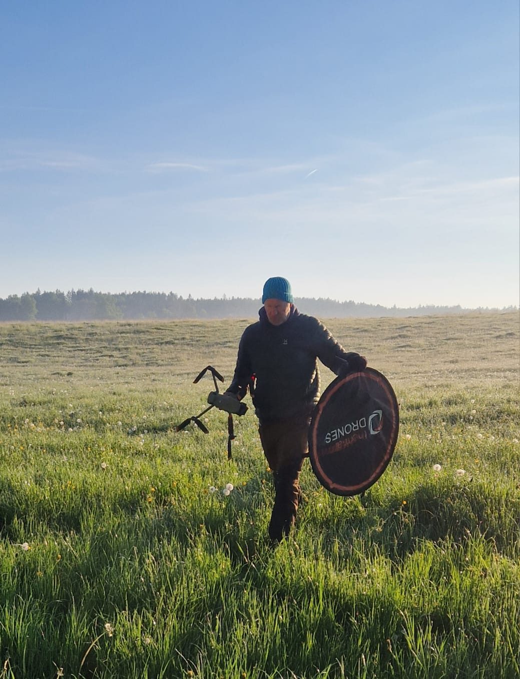
For rescue groups, pilots, ground teams, farmers and hunters: planning areas and flights, reading heat signatures reliably, sending finds to the ground team via POIApp and documenting every mission during fawning season.
Fawn rescue with drones -
Bird protection
Breeding bird protection
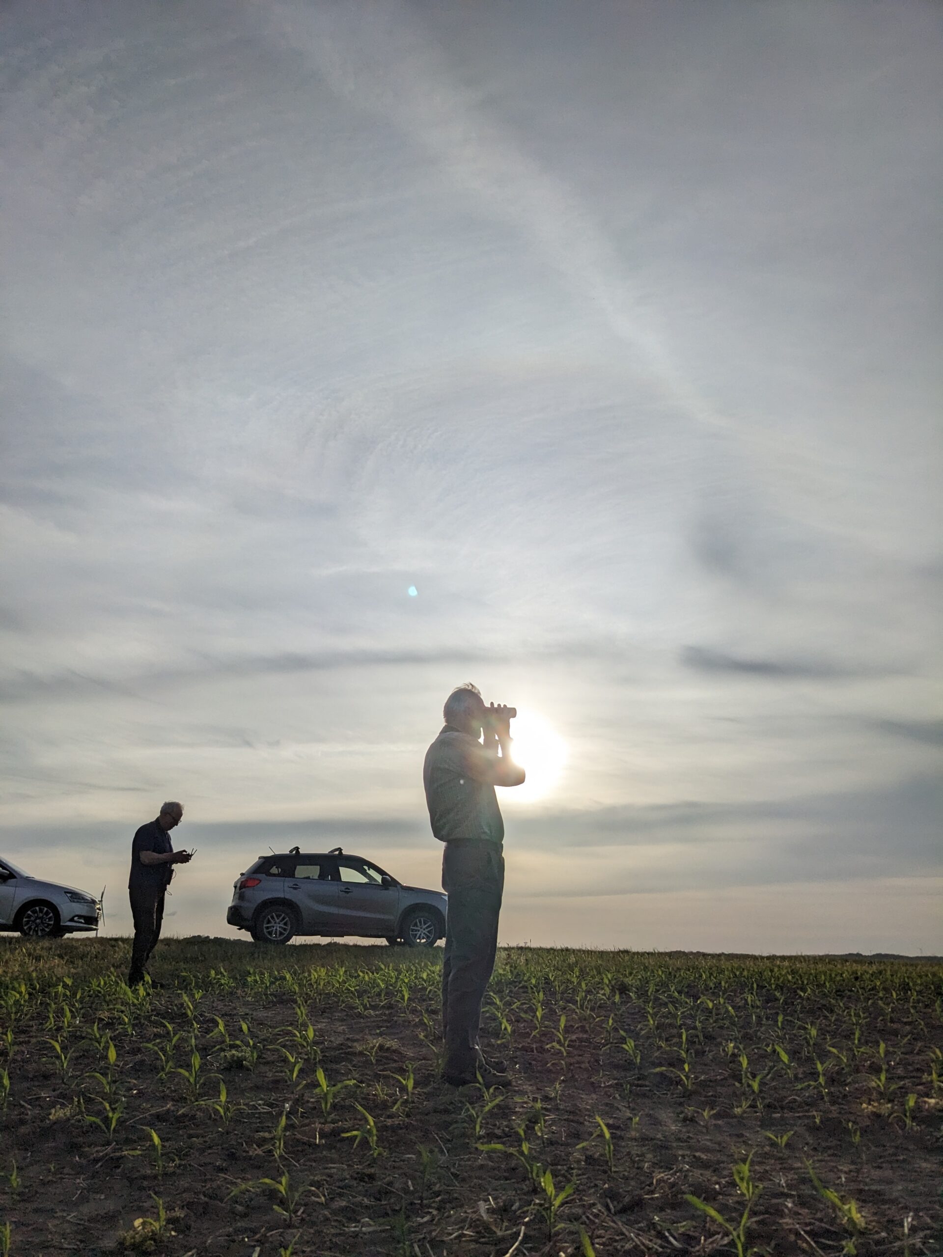
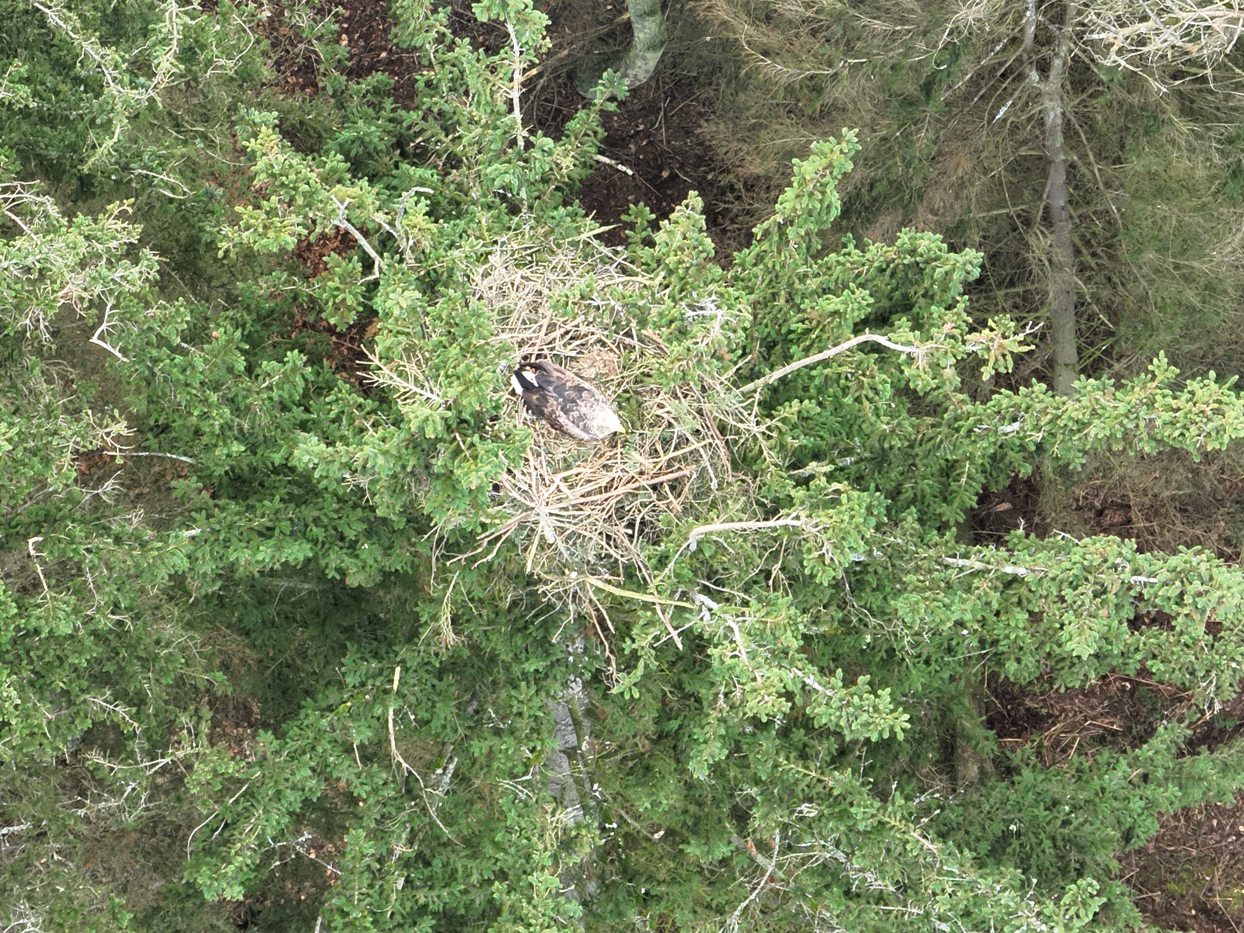
Locating and mapping the nests of ground-nesting birds such as lapwing, skylark or Montagu's harrier with minimal disturbance, and sending nest positions straight to the conservationists on the ground. Led by Tobias Dahms, a qualified landscape ecologist.
Montagu's harrier protection with a thermal drone -
Conservation
Species conservation and monitoring
Checking eyries, surveying populations, counting wildlife: planning low-disturbance flights, analysing images and documenting results so others can follow them. Plus: what to clarify before flying in protected areas.
White-tailed eagle monitoring with a thermal drone -
Public safety
Fire service, EMS and disaster relief
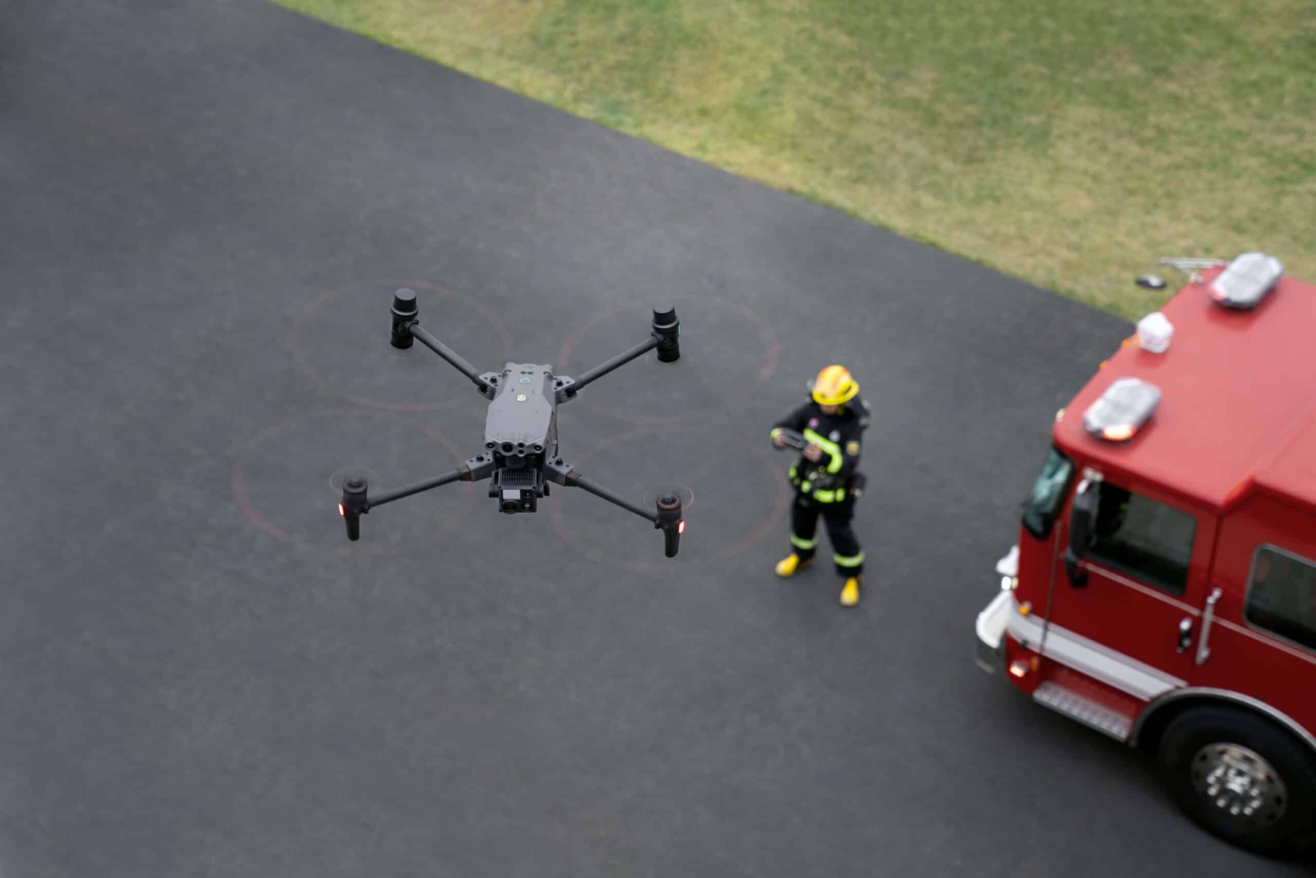
For drone units and incident command: reading thermal imagery during operations, finding hotspots in wildfires and sharing finds and positions with all responders via POICloud.
Request public safety training -
Search and rescue
Missing person search with thermal drones
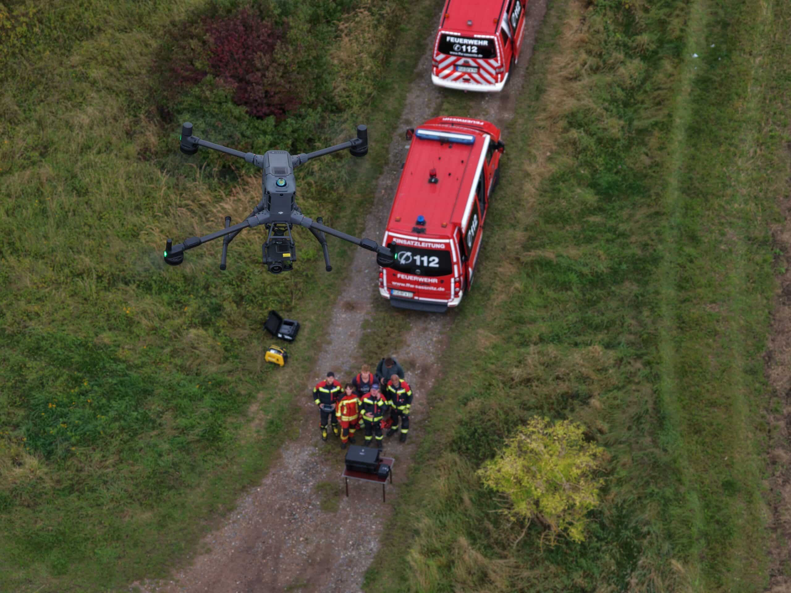
Flying search areas systematically, assessing heat signatures and handing locations to search teams via the app, so a lead from the air quickly becomes a find on the ground.
Request search and rescue training -
Special applications
Surveying, forestry, agriculture and research
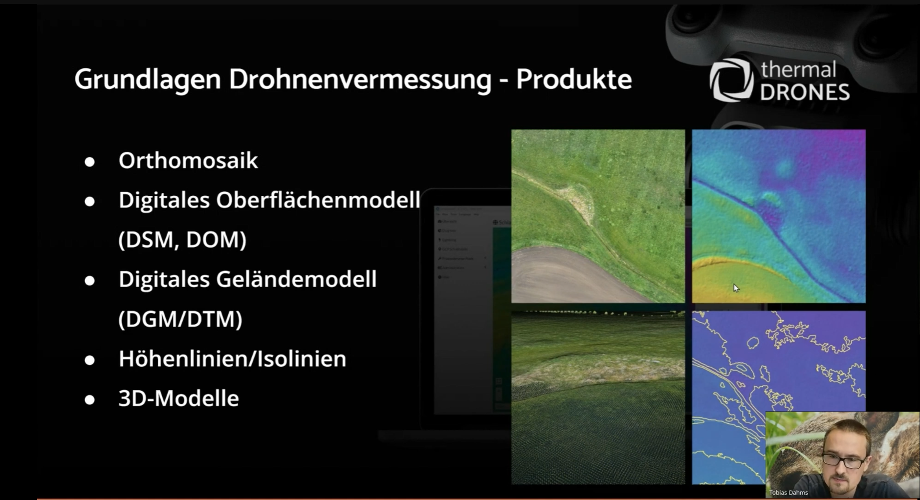
Surveying and mapping, detecting and tracking bark-beetle trees, multispectral data for agriculture, documenting wildlife damage, inspecting solar plants. For research projects, we develop the right method with you.
Ask about your topic
POICloud onboarding
Roll out POICloud across your team
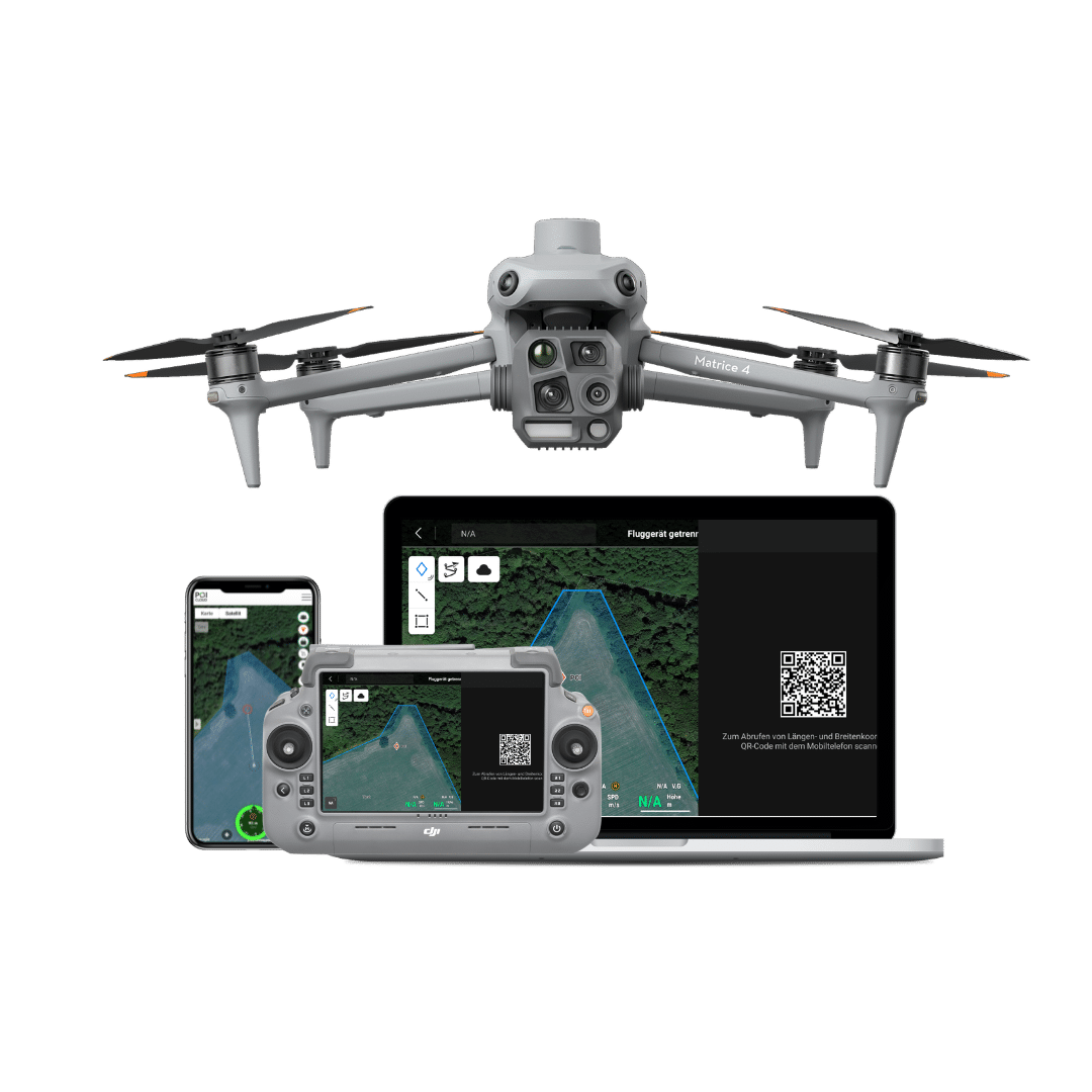
POICloud connects drone, remote controller, smartphone and PC. During onboarding we set it up with you so your team can work with it from the very first mission.
Team: invite members, set up guest access, connect remote controllers
Areas and jobs: import areas or let clients enter them, assign jobs to teams
Flight planning: create flight plans automatically and send them straight to the remote controller
In the field: send finds to the ground team via POIApp, confirm finds, review and export missions
Surveying with DJI Terra
Photogrammetry and LiDAR: drone surveying with DJI Terra
With a DJI Enterprise drone and DJI Terra you can produce orthomosaics, surface models, 3D models and point clouds for land surveying, forestry, construction and infrastructure. Our surveying course covers the whole workflow: from the flight plan and data capture to deliverables ready for GIS and CAD.
Photogrammetry: From overlapping photos, DJI Terra calculates true orthophotos, digital surface models (DSM), point clouds and textured 3D models.
LiDAR: A LiDAR drone with a Zenmuse L-series sensor measures the surface directly and, using multiple returns, also reaches the ground through gaps in vegetation. DJI Terra turns the data into point clouds, 2D maps and 3D mesh models.
Which method fits? We work that out with you based on your sites, your accuracy requirements and your equipment.
You can get the right DJI Terra licence and LiDAR sensors such as the DJI Zenmuse L3 from us (shop in German).
To prepare: our flight planning calculators, the article on flying over terrain and the guide to setting up RTK positioning on DJI drones.
What you learn in the surveying course
-
Flight planning for mapping
Plan mapping missions with the right altitude, ground sampling distance and image overlap, use terrain follow in hilly terrain and send flight plans to the remote controller via DJI Pilot 2 or POICloud.
-
Accuracy with RTK and ground control points
Make sure you have an RTK fix, and lay out and survey ground control points and check points correctly: at least three, ideally four, evenly spread across the site and visible in at least four photos each.
-
Coordinate and height reference systems
Set the coordinate system and height reference in DJI Terra to match your survey data so results line up in GIS and CAD without offsets.
-
Processing in DJI Terra
Create projects, check the aerial triangulation, compute 2D maps and 3D models, process LiDAR point clouds and export results as GeoTIFF, LAS/LAZ, OBJ or OSGB.
-
The right computer
DJI Terra runs on Windows and requires an NVIDIA graphics card. DJI specifies at least 32 GB of RAM and recommends 64 GB and an RTX 2070 or better. We check with you in advance whether your hardware is up to the job.
-
Real-world applications
Terrain and site surveys, forest mapping, documenting wildlife and forest damage, construction sites and buildings, power lines and infrastructure.
Process
How a training course works
-
1
Enquiry
Tell us what you use your drone for, who will take part and which equipment you work with.
-
2
Tailoring
We suggest content, format and date, online, on site or combined, and send you a tailored quote.
-
3
Training
As much theory as needed, as much practice as possible: on your drone, in your POICloud, with your workflows.
-
4
Afterwards
Questions from your first missions go to our support team. Step-by-step guides are in the POISuite documentation.
Why train with thermal DRONES?
-
From the field
We develop POISuite ourselves and use thermal drones ourselves, in fawn rescue, breeding bird protection and research projects.
-
Almost two decades of experience
Scientific and practical experience with thermal drones and wildlife detection.
-
Expert-led
Breeding bird protection courses are led by Tobias Dahms, a qualified landscape ecologist.
-
One-stop shop
Drone, software, training and service: as a Gold-status DJI Enterprise Partner, we know the equipment you work with.
FAQ
Drone training: frequently asked questions
Who is the training for?
For anyone using drones in conservation or public safety: fawn rescue groups, bird and wildlife conservationists, hunters and farmers, drone units of fire services, EMS and disaster relief, and specialist users in surveying, forestry and research. You can start with no prior experience or, as an experienced team, go deeper into specific topics.
Online or on site: which suits us?
Online training is usually enough for software, POICloud and a refresher before the season. Flight practice, coordination between pilot and ground team and interpreting heat signatures in the field are best learned on site. Our free webinars give you a first overview.
Do we need our own drone?
For instruction on your drone, bring the drone, remote controller and charged batteries. If you do not have one yet, we are happy to help you choose the right thermal drone.
Does the training replace a remote pilot certificate?
No. Our application training does not replace any legally required certificate of competency. Which certificates you need for your drone is explained on our drone law page.
What does training cost?
Webinars are free. Online and on-site training is put together according to content, scope and location; you receive a tailored quote in advance.
Can we suggest our own topics?
Yes. If you would like a topic that is not listed here or have a specific question, get in touch.
Enquiry
Request training
Tell us briefly what you have in mind. We will get back to you with a proposal for content, format and date. We only use your details to process your request, in line with our privacy policy.