
Fawn and wildlife rescue
Fawn Rescue with Drones
Before mowing, you search the meadow with a thermal imaging drone, your helpers walk to each find with the POIApp, and at the end every field is documented. For fawn rescue with drones, thermal DRONES supplies the drone, software and training from a single source.
Before mowing
Why fawns have to be rescued before mowing
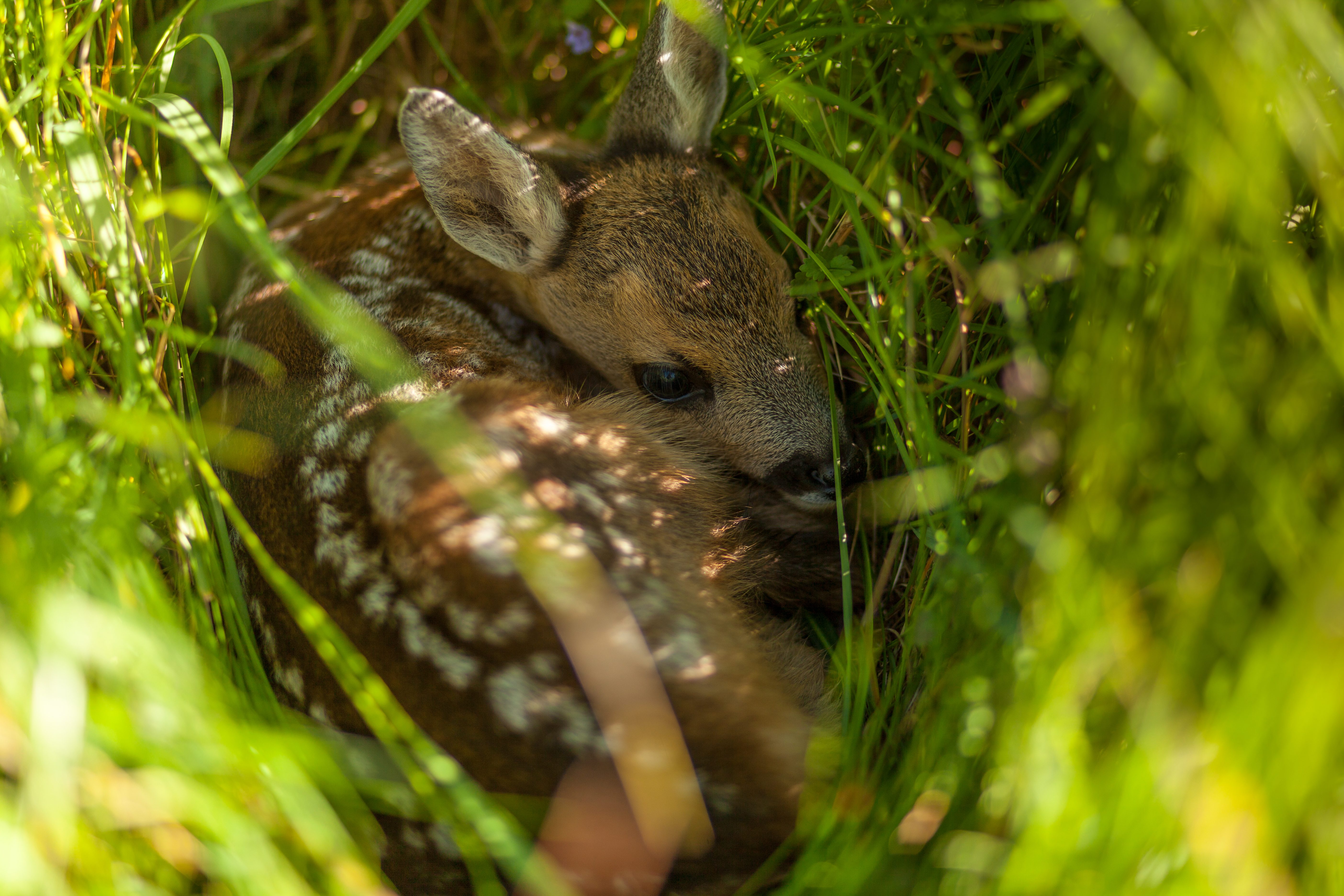
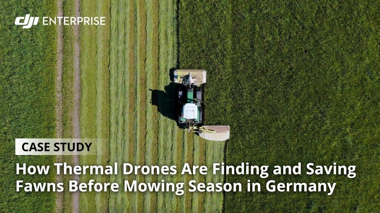
Fawns and other young wildlife such as brown hares and ground-nesting birds spend their first weeks of life well hidden in tall grass. When danger approaches, a fawn does not run away but presses itself flat to the ground, which is fatal in front of a mower. That is why fawn rescuers search meadows shortly before mowing, usually in the early morning, when the warm fawn stands out clearly from the cool ground in the thermal image.
For farmers in Germany this is also a legal matter: anyone who knowingly accepts that fawns will be killed during mowing can be prosecuted under the Animal Welfare Act, and courts have already sentenced farmers to fines and suspended sentences. Read more in our overview of the legal situation in wildlife rescue.
How finds reach the helpers
Three ways to search for fawns with a drone
How much ground fawn rescuers can cover with a drone in one morning depends above all on how a find gets from the pilot to the helpers on the ground. Automatic detection (beta) helps with finding fawns, but whether it really is a fawn is always decided by a person.
-
Conventional
LiveView
The pilot searches in the live image. When they spot a fawn, the drone hovers over the spot until a helper has been guided there by radio or via the live stream in the POIApp.
-
With POICloud
Mark and keep flying
The pilot marks the find in the live image on the DJI remote controller and keeps flying. The helpers receive the location on their smartphones and walk to it with the POIApp.
-
With POIStudio
Fly, analyse, guide
The drone flies over the meadow without stopping and takes photos. POIStudio analyses the thermal images on a laptop and sends the finds to the POIApp.
-
Drone
transmits the thermal image live to the remote controller
Live image
-
Controller
the pilot searches the thermal image and holds the drone over the find
Live stream
-
POICloud
shares the live image and the drone's position with the team
Cellular or radio
-
Helpers
see the live image and the drone in the POIApp and walk to the spot below it
-
Find
is secured, and only then does the drone search on
-
Drone
flies over the meadow with the thermal image running live
Live image
-
Controller
the pilot sets a PinPoint on a find and keeps flying
POIConnect
-
POICloud
receives the location with its coordinates
Cellular
-
Helpers
walk to the find with the POIApp, accurate to the centimetre
-
Find
is secured and logged in the app
-
Drone
flies over the meadow automatically and at high speed
Thermal images
-
POIStudio
analyses the thermal images and geolocates the finds
Locations
-
POICloud
receives the locations with their coordinates
Cellular
-
Helpers
walk to the finds with the POIApp, accurate to the centimetre
-
Find
is secured and logged in the app
After the find
Found is not yet rescued
The POIApp guides your helpers to within a metre of the fawn the drone has found. Everyone sees in real time where the others are and which finds are already being dealt with.
You log every secured fawn in the app with its position and how long it has been kept. That way, even with lots of crates in different places, every animal is released again after mowing. How to handle fawns correctly is explained in our article Can you touch fawns without gloves?
How to organize the whole operation, from request to report, is covered in Organizing fawn rescue with POICloud.
Software for fawn rescue
POICloud makes the difference
The thermal imaging drone makes the difference in fawn rescue. Wildlife can be found easily and quickly in the early morning. But fawn rescue is more than flying and finding.
Preparation, coordination, securing the animals and the evaluation use up a lot of valuable time. POICloud is built to support fawn rescuers exactly here.
From the field
Fawn Rescue Mangfalltal: more meadows with the same team
The 2025 season compared with 2024, according to the association. It has been working with POISuite since 2025.
- 1,134
- meadows searched (2024: 651)
- 3,158 ha
- area flown (2024: 1,919 ha)
- around 250
- clients (2024: 100)
-
Rehkitzrettung Mangfalltal e. V.
Read the case studyWe could not have coped with the growth without switching to the POICloud and letting farmers and hunters request jobs themselves via an online form. The automatic route generation in the POICloud and, of course, POIStudio in particular have saved us an incredible amount of time.
Everything from a single source
Drone, software and training for your fawn rescue
-
Drone sets for wildlife rescue
DJI Enterprise thermal imaging drones as a complete set. Every wildlife rescue drone from our shop comes with the POICloud, free of charge for good.
View the sets -
Training
On site with your drone, online or in a webinar, from getting started to expert knowledge.
View training courses -
POISuite for drones you already own
Already have a drone? The POICloud is also available on its own.
POISuite in our shop
FAQ
Frequently asked questions about fawn rescue with drones
Which drone do you need for fawn rescue?
For fawn rescue you need a drone with a thermal camera, because only in the thermal image does a fawn stand out from the grass. Fawn Rescue Mangfalltal, for example, flies the DJI Mavic 3T, the DJI Matrice 4T and the DJI Matrice 4TD. Which drones work with our software is listed under Which drone is compatible with POICloud? We're happy to work out which drone suits your fields and your team in a consultation.
At what height do you fly when searching for fawns?
That depends on the thermal camera. A ground resolution of about 7 cm per pixel has proven itself: a fawn then shows up on around 14 pixels. With the DJI Mavic 3T, the DJI Matrice 30T and the DJI Mavic 2 Enterprise Advanced, that means flying at about 55 m. With the DJI Matrice 4 series it is 70 m. More on this in our article on drone flight parameters for fawn rescue.
What time of day do you search for fawns?
In the early morning. While the ground is still cool, a fawn stands out clearly in the thermal image. And because many farmers often mow on the same day, every minute counts. Our software helps you make the most of this window, and its algorithms also make searching possible later in the day.
What does fawn rescue with a drone cost?
The biggest item is the drone with a thermal camera; you'll find current prices for the complete sets in our shop. There are no extra costs for the software: with a DJI Enterprise thermal drone from our shop, POIStudio, POIConnect and POICloud with the POIApp are included permanently at no cost, updates included. For drones you already own, POISuite is available separately.
Is there funding for a fawn rescue drone?
In Germany, the federal government, the BG BAU and individual federal states have funded drones for fawn rescue in recent years. The conditions change from year to year, and you usually have to apply before you buy. We'll tell you what currently applies in a consultation.
Who is responsible for rescuing fawns?
Above all, the people who farm the land: in Germany, farmers and agricultural contractors are obliged to take an active part in rescuing fawns before mowing. Hunters, associations and volunteers support them. What the courts have said on this is covered in our overview of the legal situation.
Technology
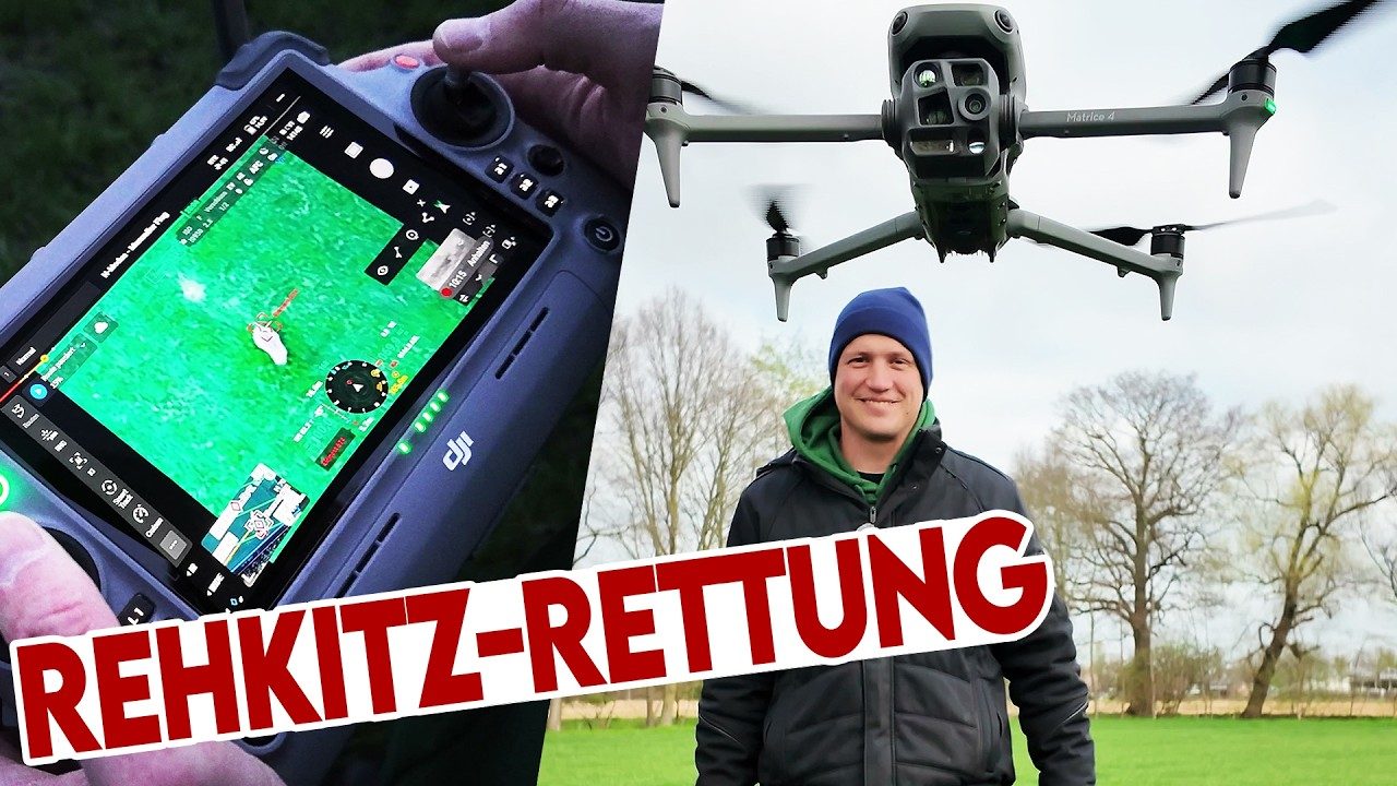
Fawn rescue with the DJI Matrice 4T
Advice