
Area of application: Forestry
Drones in Forestry
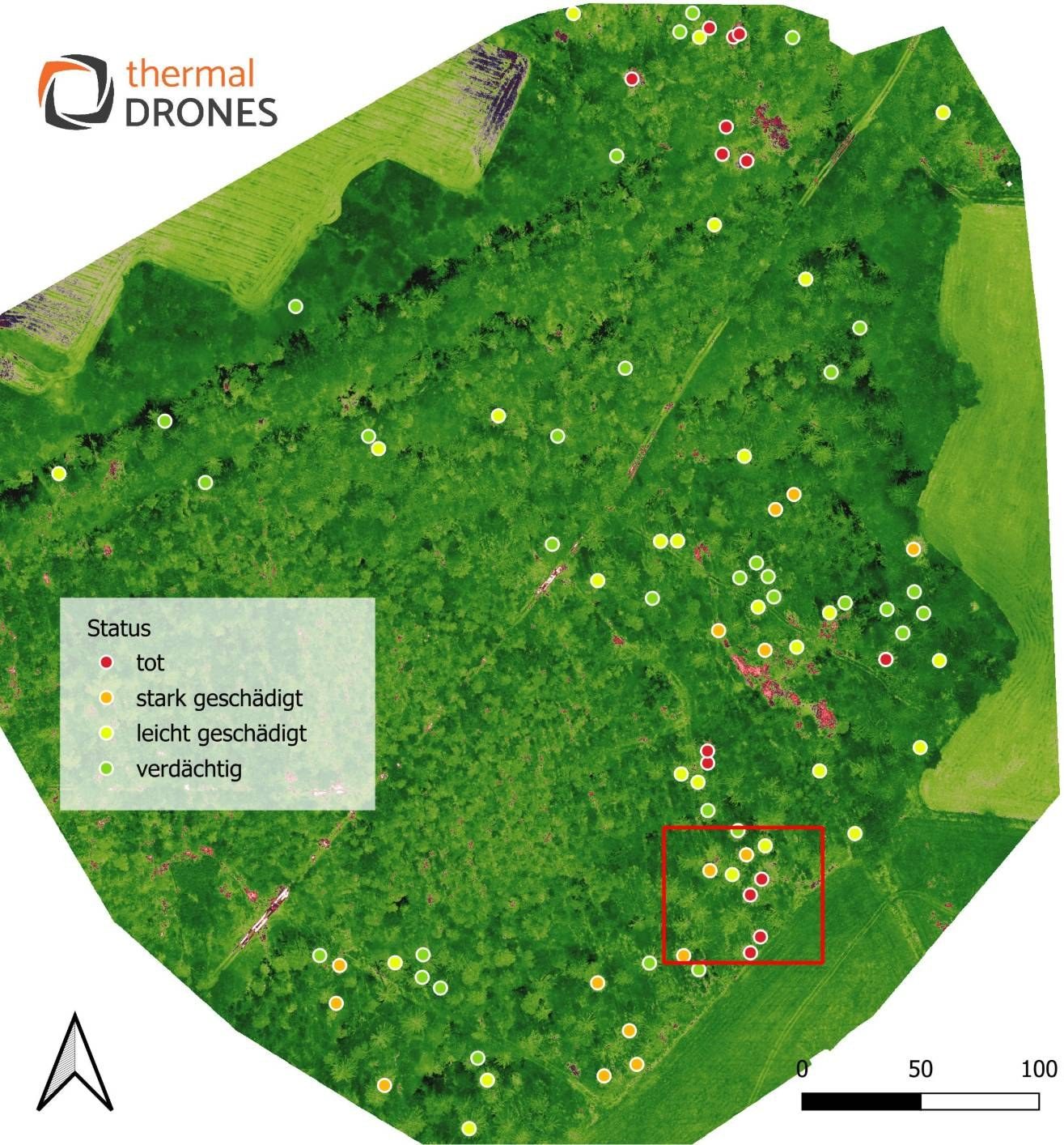
In the forest, a drone helps you find damage in the stand early and go straight to it: you mark conspicuous trees from the air, POICloud collects them with their condition, and your people on the ground walk to them with the POIApp. All data flows on into your GIS. The focus is on the bark beetle.
Topics
Topics in forestry
-
Focus
Bark beetle drone
Mark infested trees in the colour image with the laser, walk to them with the POIApp and RTK, with multispectral analysis and GIS integration in POICloud.
Find bark beetles with a drone
Advice