
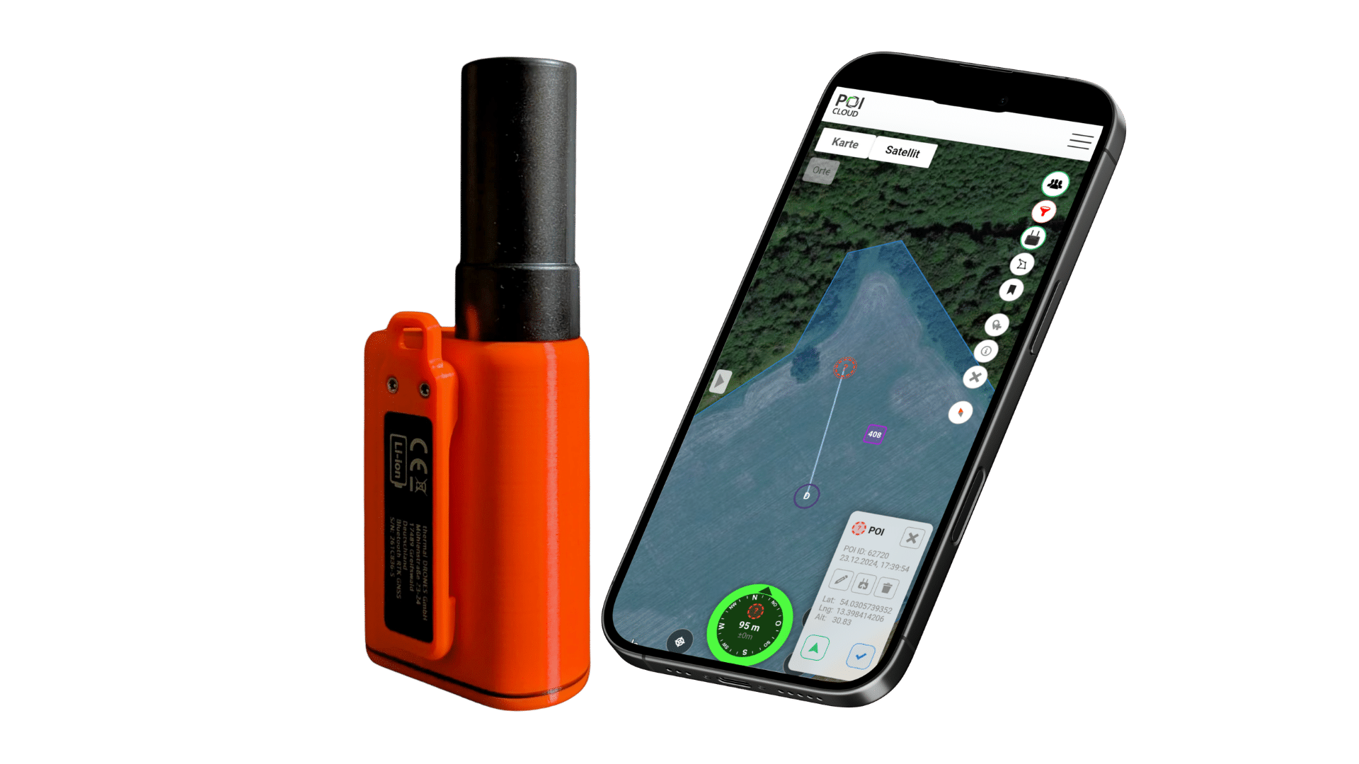
RTK for Android and iPhone
POIApp RTK receiver for smartphones: centimeter-accurate GPS
Your phone's built-in GPS is often off by a meter or more. The POIApp RTK receiver for smartphones gives your Android phone or iPhone centimeter-accurate GPS. Connect it to the POIApp via Bluetooth and walk to marked fawns, nests and survey points to within a few centimeters.
- a few cm
- Accuracy with RTK correction data
- 2 × 3
- 2 selected satellite systems (GPS and Galileo) on 3 frequencies (L1, L2, L5) for reliable, interference-free reception
- 6.5 h
- Battery life, charging via USB-C
- €349
- incl. VAT, free shipping (as of 10/2026)
Accuracy
Why your phone's GPS isn't accurate enough for some finds without RTK
Most smartphones use their built-in GPS to determine their position to about one meter. That's plenty for finding fawns in knee-high grass in May, but not for a fawn in tall grass or a skylark nest: search one meter off and you lose valuable time before you find it.
RTK (Real Time Kinematic) corrects this error. A correction service such as SAPOS uses fixed reference stations to measure how far the satellite signals are currently off and sends this correction data to the POIApp via NTRIP. Instead of your phone's antenna, the POIApp RTK receiver uses its own multi-frequency antenna, combines the corrections with its satellite data and gives you your position to within a few centimeters.
Drones like the DJI Matrice 4T already have RTK on board and measure find locations to the centimeter with their laser rangefinder. With the RTK receiver, your ground team's smartphones are just as accurate, so that precision isn't lost on the last meter. For RTK on the drone itself, see how to set up RTK positioning on DJI drones.
Setup
How to connect the RTK receiver to your smartphone
When you first launch the POIApp, its welcome tour takes you through the same steps.
- Install the latest POIApp on your Android phone or iPhone. You'll find the app store links under Download POIApp.
- Switch on the receiver. In the POIApp, tap the gear icon at the top right, open the POIApp RTK receiver settings, search for devices and connect your receiver.
- Open the RTK correction service settings, add an account and enter the credentials of your NTRIP service, for example SAPOS in Germany: host, port (usually 2101), mountpoint, username and password. The connection test checks your access.
- Step outside under open sky and wait about a minute until enough satellites are found. The POIApp then automatically uses the receiver as its location source and shows deviation, altitude and coordinates.
Each step is explained in detail in the instructions for the POIApp RTK receiver.
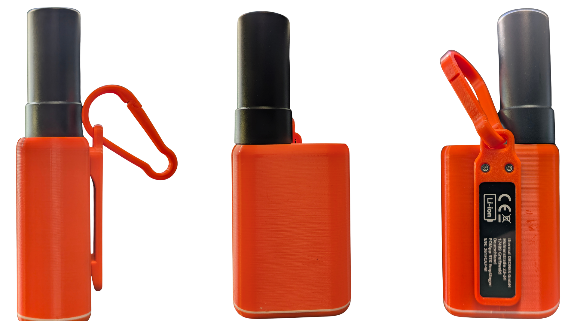
Features at a glance
-
Built into the POIApp
No extra app needed. The receiver connects directly to the POIApp, which uses its position to guide you to the find.
-
Android and iPhone
Thanks to Bluetooth, the receiver works with Android smartphones and iPhones.
-
Two satellite systems, three frequencies
We deliberately use GPS and Galileo on the L1, L2 and L5 frequencies for reliable reception.
-
Multiple correction services
Add as many NTRIP accounts to the POIApp as you need, for example one per region, and pick the right one for each location.
-
Small and orange
It fits in any pocket, attaches to your belt or backpack with its clip or carabiner, and the orange housing is easy to spot in the grass. If you do lose it, the POIApp helps you find it again.
-
About 6.5 hours of battery life
Enough for a morning in the field. Charge it via USB-C with a power adapter of at least 10 watts.
In the field
RTK for fawn rescue and breeding bird protection
-
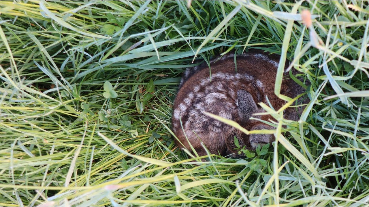
RTK in fawn rescue
The drone spots the fawn in the thermal image and marks its location. With RTK, the POIApp guides your helpers on the ground to within a few centimeters of that spot instead of leaving them to search a radius of a meter or more. We use the receiver on every one of our own fawn rescue missions.
Fawn rescue with drones -
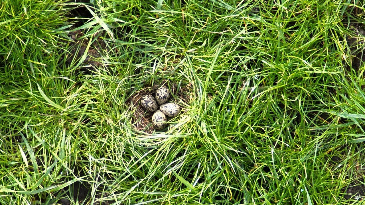
RTK in breeding bird protection
Nests and clutches are small and well camouflaged. With the receiver, you walk to surveyed nest sites with centimeter accuracy and check them without missing or damaging them. In our projects with conservation associations, it has proven itself with waders, grey partridges and skylarks.
Data sheet
Technical specifications
| Feature | Specification |
|---|---|
| Satellite systems | GPS and Galileo (GLONASS and BeiDou disabled), multi-frequency measurement (L1, L2 and L5) |
| RTK corrections | via NTRIP, e.g. SAPOS, RTK2GO |
| Accuracy | a few centimeters with RTK correction data under open sky |
| Connectivity | Bluetooth |
| Smartphone | Android and iOS with the latest POIApp |
| Battery | lithium-ion, 6.5 hours runtime |
| Charging | USB-C, power adapter with at least 10 watts |
| Antenna | quadrifilar helix |
| Altitude | ellipsoidal heights (WGS84) |
| Operating temperature | 0 °C to 40 °C |
| Protection | dust-protected, not protected against water |
| Housing | orange PETG, with clip |
| In the box | receiver with antenna, plastic carabiner (cable and power adapter not included) |
| Accessories | mount for survey poles with 5/8-inch thread (optional) |
| Approval | EU countries only |
Price
How much does the POIApp RTK receiver cost?
It costs €349 including VAT, with free shipping (as of October 2026). We build every receiver by hand and test it before it ships to you, so quantities are limited. If it's sold out in the shop, ask us for one directly.
To use RTK on your smartphone, you also need access to an NTRIP correction service, such as SAPOS in Germany. The receiver is approved for EU countries only.
FAQ
FAQ: RTK receiver for smartphones
Does the RTK receiver work with Android and iPhone?
Yes, with both. The receiver connects to the POIApp on Android smartphones and iPhones via Bluetooth. You need the latest version of the POIApp.
Do I need SAPOS or another correction service?
Yes, for centimeter accuracy. The POIApp receives the correction data via NTRIP, for example from SAPOS. You enter host, port, mountpoint, username and password once in the app and can add several accounts. Without correction data, your position is clearly better than with your smartphone alone, but not accurate to the centimeter.
Does my phone need an internet connection?
Yes. The correction data arrives via NTRIP over the internet, so your phone needs mobile data or Wi-Fi. If the accuracy is worse than one meter, the POIApp shows it in yellow.
How long does the battery last?
About 6.5 hours. Charge it via USB-C with a power adapter of at least 10 watts. Cable and power adapter are not included.
Is the receiver waterproof?
No. It is dust-protected but not protected against water. Keep it out of rain and moisture, and if it does get wet, let it dry before you use it again.
Can I use the receiver for surveying?
Paired with an Android phone or iPhone, it becomes a simple RTK surveying tool for GIS data collection, field documentation and recording points. It is not a certified surveying instrument for official or legally regulated measurements. It outputs ellipsoidal heights in WGS84.
My receiver is an older model. Will it work with the latest POIApp?
Older receivers may need an update. Contact us and send us the device, and we'll update it free of charge.
Support