Drones & Technology
Knowledge about drones and technology for wildlife and species conservation, as well as other areas of application.
-
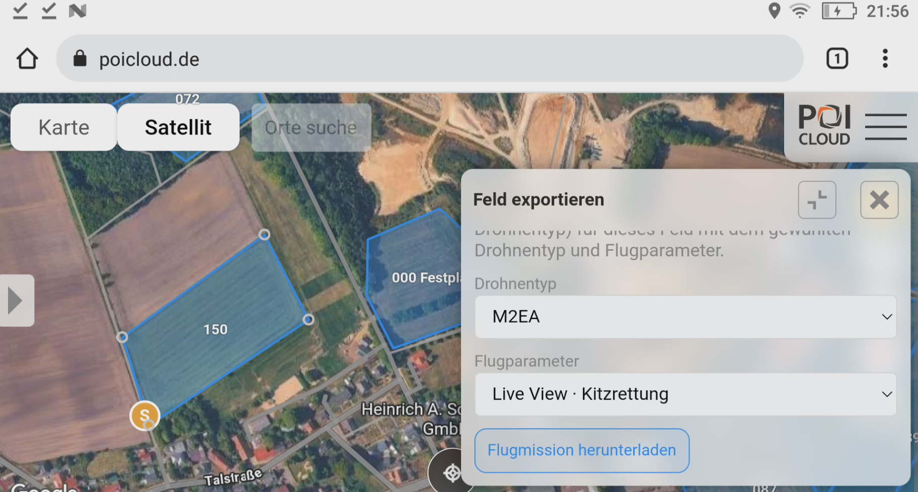
POICloud flight planning for the M2EA
Flight plans for everyone – M2EA now fully available in POICloud. Flight plans for every field can now be downloaded from POICloud – free of charge. This means POICloud fully covers all essential aspects of fawn rescue without a paid subscription. Teams already using the direct drone connection of newer models can now also create missions for the DJI Mavic […]
-
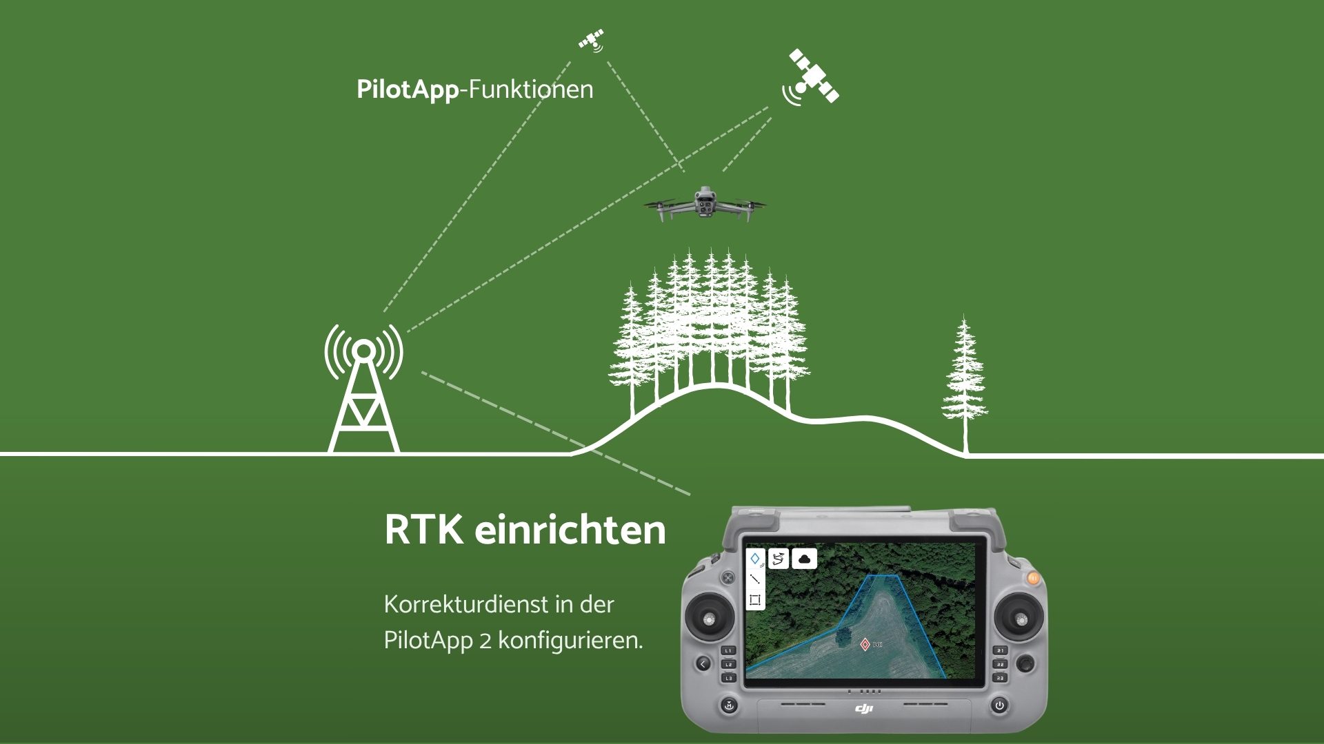
Set up RTK Positioning on DJI Drones
To use your drone’s RTK (Real-Time Kinematic) function, registration with either the SAPOS® service (Satellite Positioning Service) of the respective federal state or with the Central SAPOS® Office is necessary in many cases. Depending on the federal state, different fees may apply for using SAPOS®.In the table below, we have compiled an overview of all […]
-
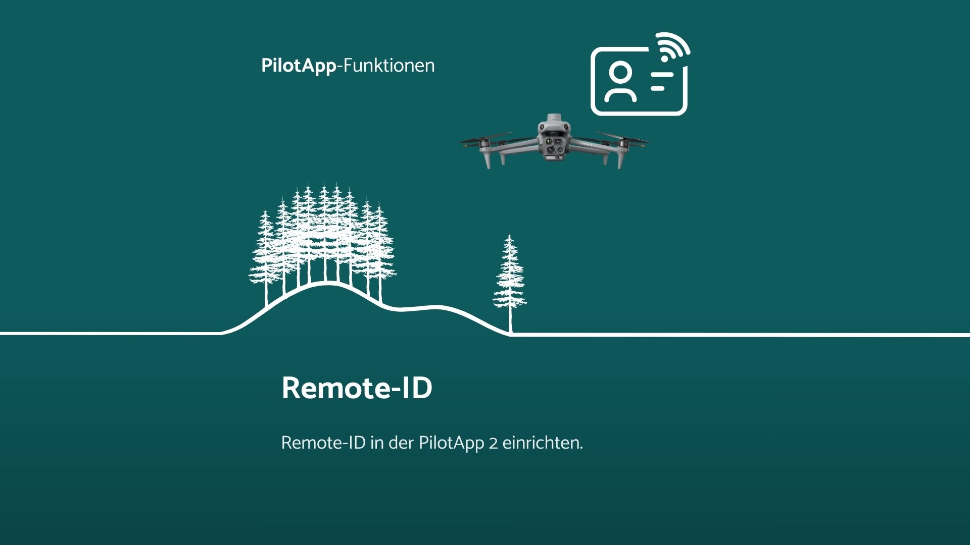
Setting up Remote ID on DJI drones
In Europe, all drones operated in the specific category, as well as all drones with class markings (e.g. C2) operated in the open category, must transmit a Remote ID.The following data will be sent by your drone: For DJI drones, the Remote ID can be set up directly via the remote control. In this article, […]
-
Perform DJI Maintenance
The DJI Maintenance Program is a long-term maintenance service for DJI drones, aimed at preserving the performance and safety of the device throughout its entire lifespan. Through regular inspections and maintenance, potential issues can be identified and resolved early. One maintenance service is included free of charge in the first year of DJI Care Refresh. […]
-
DJI Matrice 4T
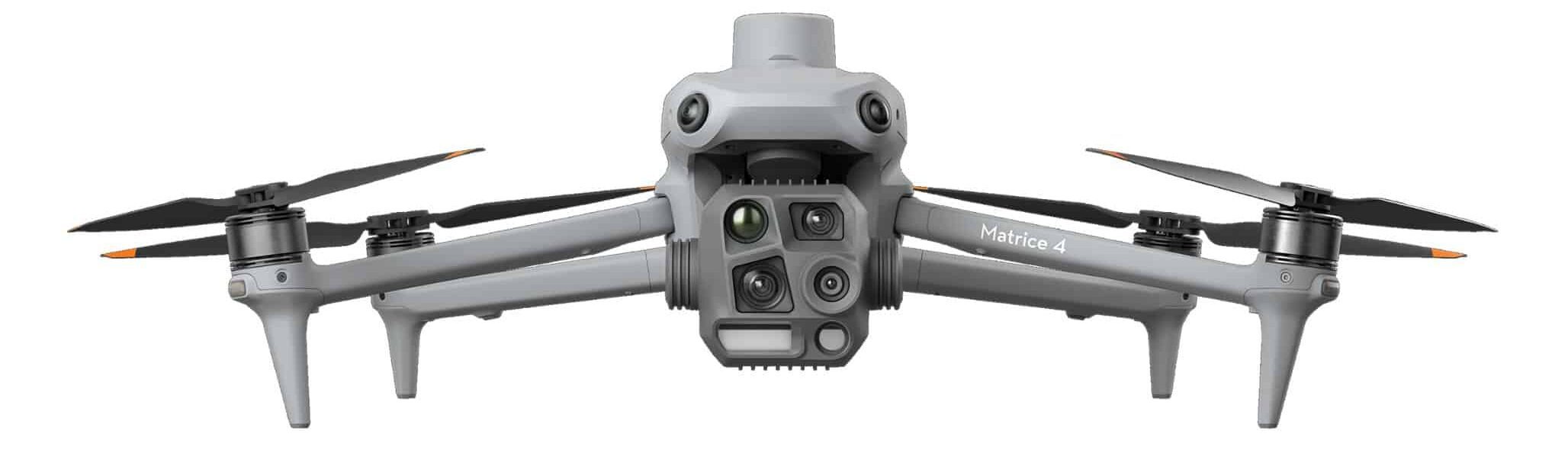
The DJI Matrice 4T has many exciting new features for fawn rescue and breeding bird protection. With a narrower lens aperture angle, the thermal imaging camera is significantly better suited for wildlife rescue and breeding bird protection. In addition to the laser rangefinder for highly accurate POI positioning, there is an onboard computer for our […]
-
Calculation tools flight planning
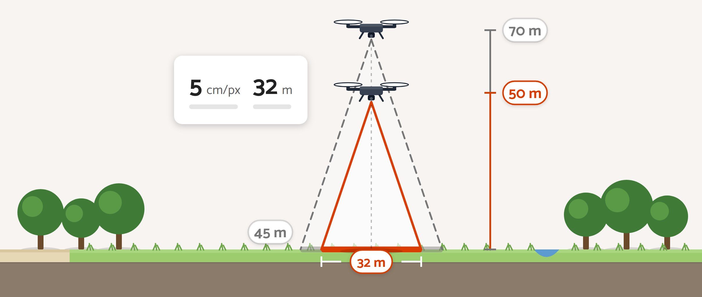
How does the flight altitude affect the ground resolution (cm/px) of the thermal image for different drones, and what is the width of the image section in each case? In this article, we have compiled various calculators to clarify these questions for your application. Of course, these are approximate values, which may need to be […]
-
Important First Steps: How to get Started Safely With Drone use
Thermal imaging drones are now a valuable tool for nature conservation and species protection. Whether locating fawns before mowing, monitoring breeding birds or documenting habitats, drones enable efficient and animal-friendly operations. To get you off to a successful start, here are the most important steps from purchase to first flight. Selecting the appropriate drone Are […]
-
What do I need to bear in mind when flying over terrain?
Flying in hilly terrain is not always easy. As a rule, an altitude of 50 metres is sufficient to fly comfortably above the treetops. However, this is not the case in hilly terrain. When flying down a slope, it is easy to crash into a tree. However, it is not only the risk of collision […]
-
Connect DJI Remote Controller to Laptop
Using USB debugging and the program “scrcpy” (Screen copy), the screen of DJI remote controllers can be connected to and controlled by the laptop. What steps are required? First, activate developer mode on the remote controller. Once this is done, USB debugging must be activated. The remote controller is then set up to function. On […]
-
💡Winter flights ⚠️🌡️❄️
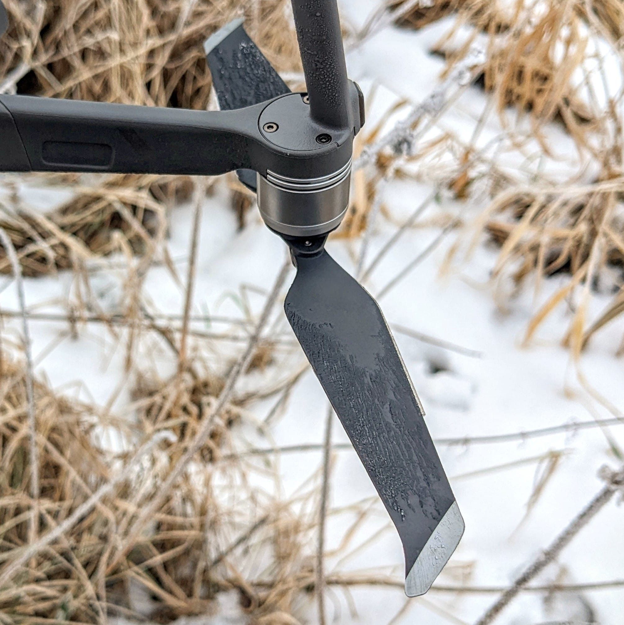
🦌Do not disturb #wildlife, especially in winter when food is scarce and the cold puts excessive stress on the animals! Flying a #drone in #winter requires special care and preparation. An important issue is the #icing of the #propellers. The risk of icing is particularly high in high humidity and low temperatures around and below […]
-
C2 Certification DJI M3T and M30T
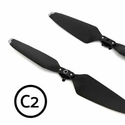
New rules for operating drones will apply from 1 January 2024. The transitional rules for existing drones will expire, and existing drones may only be operated at a considerable distance (150 m) from uninvolved persons, settlements and industrial facilities. All drones sold from 1 January onwards are certified. This determines the open category in which […]
-
The DJI M30T
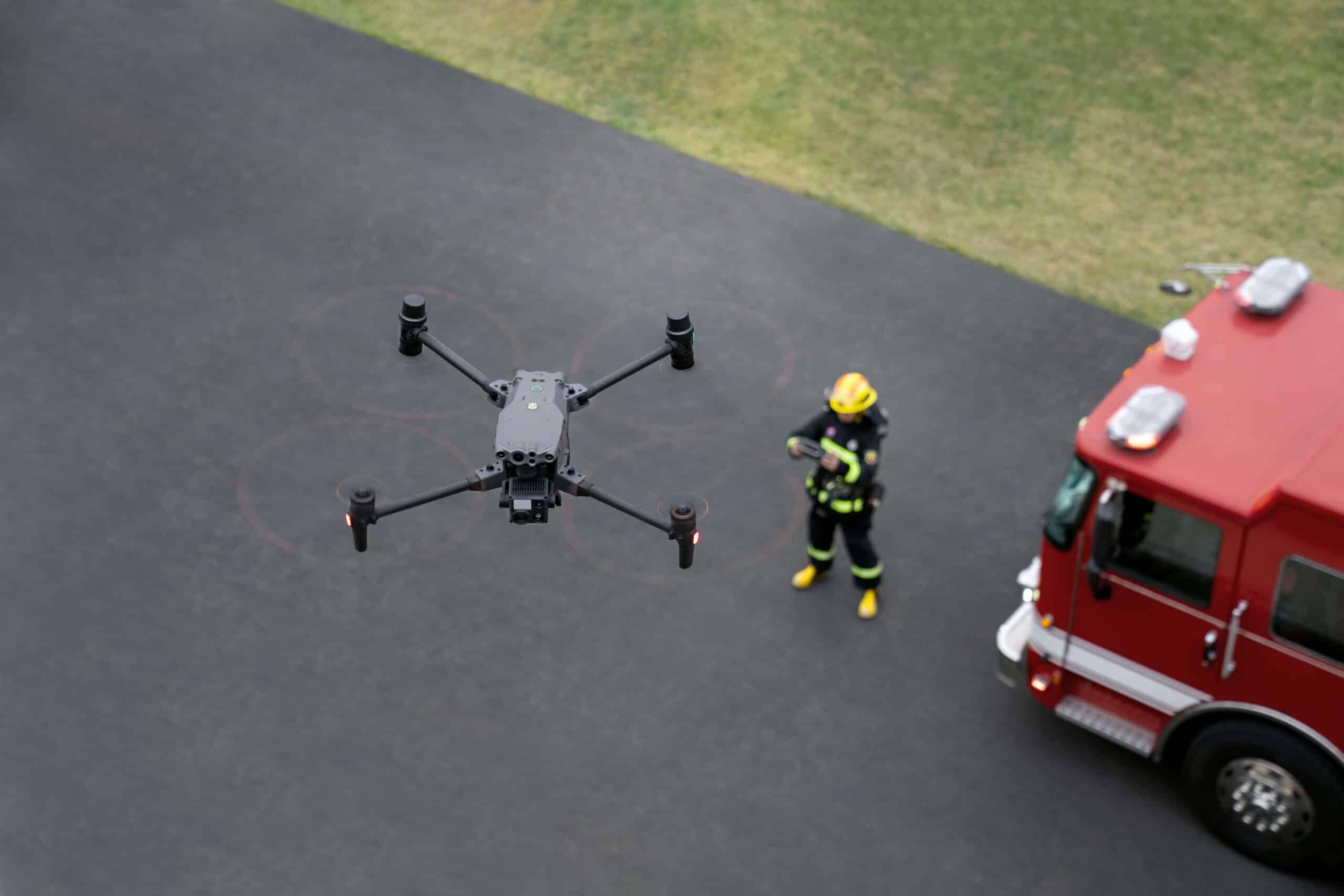
The high-resolution thermal imaging camera, long flight time, and ability to fly even in rain make the DJI M30T the perfect tool for emergency services and wildlife rescue. The device can be ordered from us.