Our products
Drones, software and training from thermal DRONES
We supply DJI thermal imaging drones as complete sets, the POICloud software for your drone and team, and the training that helps you use both safely in the field. Pick where you want to start.
-
Drones
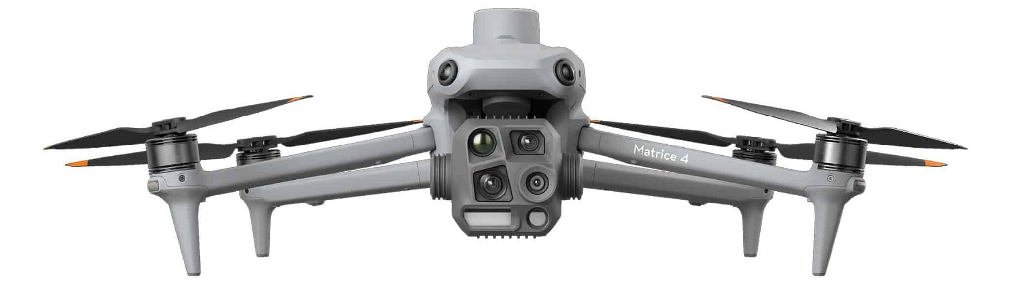
Thermal imaging drones and sets
DJI Matrice 4T, 4TD and 400 RTK as a complete set with POICloud integration, onboarding and support. Accessories for older models are still available from us.
To the thermal imaging drones -
Software
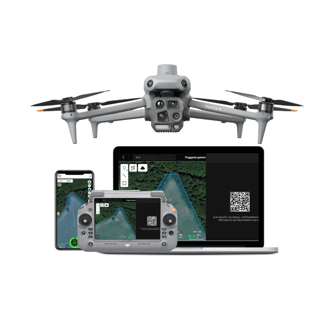
POICloud
The drone software for areas, missions, flight plans and find locations. It includes the POIApp for your helpers on the ground, POIConnect for the drone and POIStudio for analysis on the PC.
To the POICloud -
Training
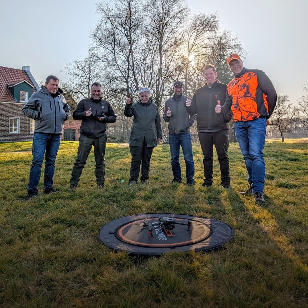
Drone training
On site with flight practice, one-to-one via video call or in open webinars: for pilots and whole teams.
To the training courses
Applications
Or start with your mission
Which drone and which software you need depends on the mission. The application pages show what fits.
-
Fawn rescue
Find fawns in the thermal image before mowing and guide the helpers on the ground to them.
Fawn rescue with drones -
Breeding bird and species protection
Find clutches of ground-nesting birds with little disturbance and find them again with your team.
-
Fire services and disaster response
Search for missing persons, find embers and give the live video to incident command.
Drones for fire departments and rescue services -
Solar and inspection
Find hotspots and faulty modules in the thermal image, with coordinates for every finding.
-
Surveying and mapping
Create orthophotos, surface models and point clouds and pass them on to your GIS.
Not sure yet?
We help you choose
Already flying a thermal imaging drone? Whether it works with the POICloud is explained under Which drone is compatible with POICloud?. Just starting out? The steps under Registering and safely launching your drone will help.
And if you get stuck: we'll advise you and put together a quote.