
Georeferencing: Finding Fawns by Smartphone
With georeferencing, every find gets a coordinate. The drone spots the fawn in the thermal image, and the helpers walk to it with the POIApp on their smartphone.
The principle
Georeferencing: every fawn gets a coordinate
Finding fawns with your smartphone: with georeferencing, the exact position of every find in the meadow is calculated. The drone knows its position and the attitude of the camera, and from that you can calculate where the fawn is lying. You can send these coordinates to your smartphone.
In the conventional fawn search with a drone, the pilot searches the live image, and the search stops at every possible find. The drone hovers over the fawn until the helper has been guided there by radio or via the live image in the POIApp.
With georeferencing, the find gets a position, the drone keeps flying, and the helpers go to the spot. Several helpers can walk to different finds at the same time.
The path of a find
How the find gets to the smartphone
- POIConnect The pilot marks the find in the live image and keeps flying
- or POIStudio The finds are located on a laptop after the flight
-
POICloud
Takes over the find with its coordinate and distributes it
Mobile network
- POIApp Helpers walk to the find
- Browser Dispatch sees the map
- Link Farmer sees the field once approved
Searching for fawns with a drone
Marking in the live image or analysing after the flight
| Comparison | Marking in the live image | Analysing after the flight |
|---|---|---|
| Find reaches the helpers | Immediately, during the flight | After the flight, once the images are analysed |
| Flight | The pilot searches the live image and marks finds | The drone flies over the meadow without stopping and saves the images |
| You need | POIConnect on the DJI remote controller | POIStudio on a laptop |
| Find goes to | POICloud and the helpers' POIApp | POICloud and the helpers' POIApp |
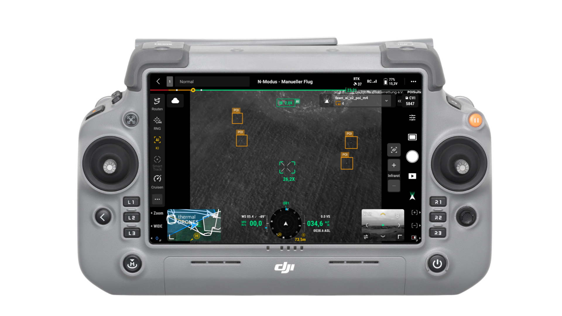
Way 1: Mark in the live image and keep flying
When the pilot sees a suspicious spot in the thermal image, they interrupt the flight, check the find and set a PinPoint on the DJI remote controller. Then they keep flying. POICloud sends the find with its coordinates to everyone: to the helpers' POIApp, to the dispatch map and, with approval, to the farmer. Photos and thermal images are attached to the find, and every find is assigned automatically to the field and the job.
The free onboard AI of the DJI Matrice 4 can suggest spots in the live image as POIs. Whether it is a fawn is always decided by the pilot.
Anyone who is not on site can still follow the operation: the sidebar shows the schedule with the current job, and the device tile shows the drone's battery, height, position and video image.
How the field and the flight route get onto the remote controller is described in Checking airspace and loading the flight route onto the remote controller.
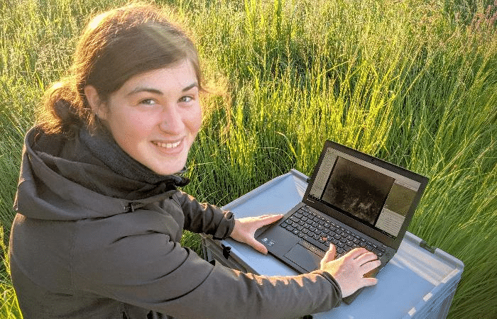
Way 2: Analysing after the flight with POIStudio
With this way, the drone flies over the meadow automatically, fast and without stopping. Thermal images are taken every second, and with every image the camera saves position and attitude. That is how the finds can be located afterwards. Depending on height and speed, 20 to 50 hectares per hour are possible this way, and one person is enough for legally compliant flight operation.
After the flight, POIStudio analyses the images on a laptop: the software improves image quality with special image processing algorithms and locates the finds with the help of artificial intelligence. The finds then go to POICloud and to the helpers' POIApp.
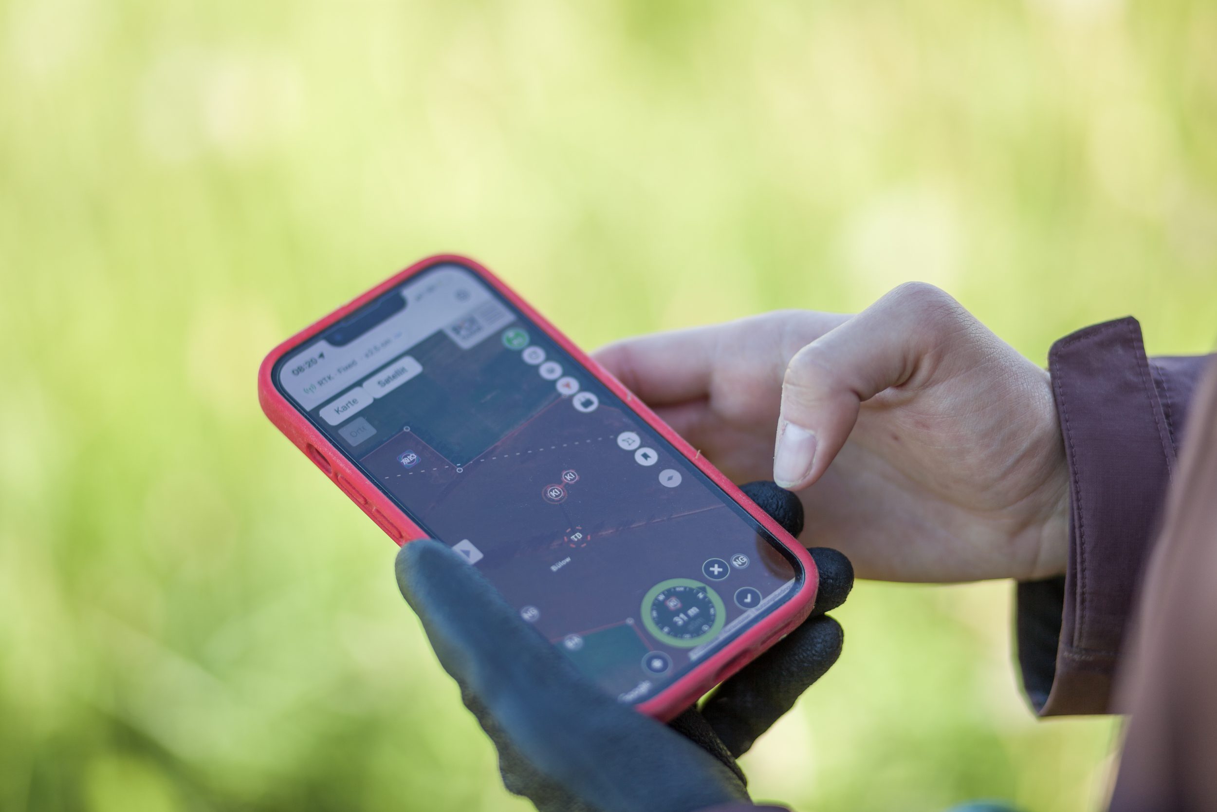
Finding: the smartphone guides you to the fawn
The helpers open the POIApp on Android or iPhone. It shows the find on the map, and a compass guides them to the spot with direction and distance. Anyone without an account joins via a guest link. Because almost everyone has a smartphone, the task of rescuing fawns can be shared among many people.
If there is no internet in the field, the points can be transferred to a handheld GPS device.
Accuracy
How accurate is the find position?
The GPS in a smartphone is often off by a metre or more. For fawns in knee-high grass that is usually enough, but in tall grass you lose time searching next to the find. With our POIApp RTK receiver, your smartphone becomes centimeter-accurate via Bluetooth. Even the smallest nests can then be found precisely and quickly with the POIApp.
The drone contributes too: a DJI Matrice 4T has RTK on board and measures find locations to within centimeters with its laser rangefinder.
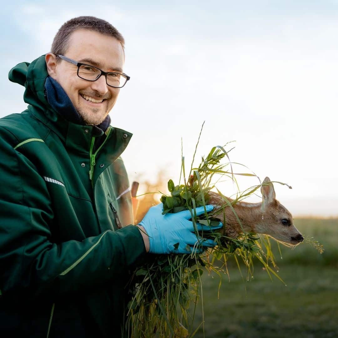
Securing: carry the fawn out of the danger zone
Once the fawn has been found, the helpers carry it out of the danger zone and secure it for as long as it is in danger from the machines. The mother finds it again: she has been standing nearby in her hiding place the whole time, and the doe communicates with her fawn by squeaking.
With the POIApp, the helpers can record the find for the statistics and note the position where the fawn is secured. That way the whole team also has an overview of where fawns still have to be released.
Digitalising fawn rescue
How POICloud can support you in fawn rescue
We introduced georeferencing for fawn rescue in 2010. Since then, our software has developed further every year and now covers the whole operation from the reported field to the report. Always with the aim of supporting you wherever possible and taking work off your hands.
Get started for free with fawn searching by smartphone
POICloud is developed by fawn rescuers for fawn rescuers. It comes permanently free of charge with every thermal imaging drone you buy from us. We are happy to support and advise you.
If you already have a drone and cannot afford to retrofit it right now, you can use POICloud completely free of charge and move your fawn rescue forward. We are happy to support you, from fawn rescuer to fawn rescuer!
Frequently asked questions
Frequently asked questions about georeferencing
Which drone suits fawn searching with georeferencing?
The method is not limited to a specific drone and can be used with most drones on the market. You need a thermal camera that stores the GPS position and the camera's attitude in addition to the images.
To mark finds in the live image, you need a DJI remote controller with POIConnect. Streaming the live image to a monitor is not necessary, but it helps the pilot.
Which drones can be connected is listed in Which drone is compatible with POICloud?. How to use the POIApp with any drone is described in Navigate to discovery sites with any drone.
Which way suits us: marking in the live image or analysing after the flight?
When you mark in the live image, the find is with everyone at once. That requires POIConnect on the DJI remote controller. When you analyse with POIStudio, the drone flies over the meadow without stopping and you locate the finds on a laptop. That pays off above all for large meadows or very few helpers.
Does the POIApp run on Android and on the iPhone?
Yes, the POIApp is available for Android and iOS.
Do you need internet in the field?
For the live image and the map, yes. If there is no internet in the field, the find points can be transferred to a handheld GPS device. With the RTK receiver, the smartphone also needs mobile data or Wi-Fi, because the correction data comes over the internet.
How accurate is the position on the smartphone?
The GPS in a smartphone is often off by a metre or more. With the POIApp RTK receiver and correction data, it is a few centimeters. More at POIApp RTK receiver.
What does it cost?
A POICloud account and the POIApp are free. You buy POIConnect and POIStudio once, as a license; with a DJI Enterprise drone from our shop, both are included permanently at no cost. Prices are listed under Pricing and licenses.
Thermal imaging drones, software and training from a single source